Dransfeld geodata
Dransfeld (Lower Saxony) is a populated place; located in Germany in Europe/Berlin (GMT+2) time zone. With population of 4,422 people, there are 3083 cities with bigger population in this country. Compared to other cities in Germany, 66.3% of cities are located further ↓South; 53.4% of cities are located further →East and 63.1% of cities have lower elevation than Dransfeld. Note1


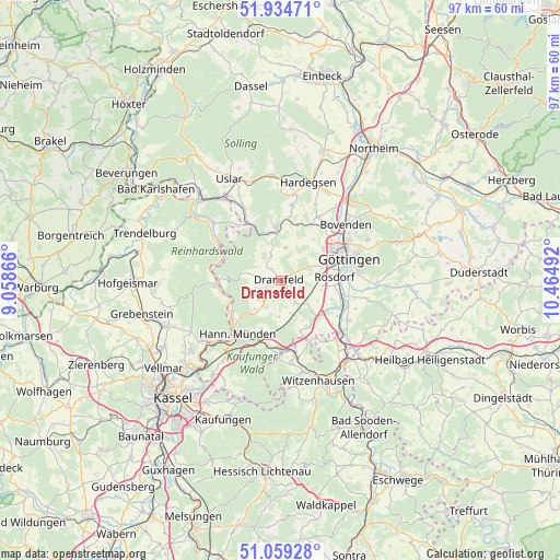
Dransfeld GPS coordinates[2]
51° 29' 56.76" North, 9° 45' 42.444" East
| Map corner | latitude | longitude |
|---|---|---|
| Upper-left | 51.93471°, | 9.05866° |
| Center: | 51.4991°, | 9.76179° |
| Lower-right: | 51.05928°, | 10.46492° |
| Map W x H: | 97.3×97.3 km | = 60.5×60.5mi |
| max Lat: | 55.01917° ⇑33.7% North |
| Dransfeld: | 51.4991° |
| min Lat: | ⇓66.3% South 47.40724° |
| min Long | Dransfeld | max Long |
| 5.92978° | 9.76179° | 14.98853° |
| W 46.6%⇐ | ⇒53.4% E |
Elevation
Elevation of Dransfeld is 309 m = 1014 ft, and this is 59.9 m = 197 ft above average elevation for this country.
| Max E: |
1256 m = 4121 ft | 36.9% |
| Dransfeld | 309 m 1014 ft | |
| Avg. | 249.1 m = 817 ft | |
Min E: |
-5 m = -16 ft | 63.1% |
See also: Germany elevation on elevation.city.
Geographical zone
Dransfeld is located in North temperate zone (between Tropic of Cancer and the Arctic Circle). Distance of this North polar circle is 1675 km =1040.8 mi to North.| Distance of | km | miles | from Dransfeld |
|---|---|---|---|
| North Pole | 4280.9 | 2660 | to North |
| Arctic Circle | 1675 | 1040.8 | to North |
| Tropic Cancer | 3120.2 | 1938.8 | to South |
| Equator | 5726.2 | 3558.1 | to South |


Nearby cities:
15 places around Dransfeld: (largest is in red/bold)
• Adelebsen
9.3 km =5.8 mi,  356°
356°
• Bovenden
14.9 km =9.3 mi,  48°
48°
• Bühren
5.7 km =3.5 mi,  252°
252°
• Friedland
14 km =8.7 mi,  129°
129°
• Fuldatal
18.7 km =11.6 mi,  226°
226°
• Gemeinde Friedland
15 km =9.3 mi, 127°
• Göttingen
12.4 km =7.7 mi,  71°
71°
• Hannoversch Münden
12.1 km =7.5 mi,  219°
219°
• Hardegsen
17.7 km =11 mi,  15°
15°
• Jühnde
4.5 km =2.8 mi,  143°
143°
• Kirchgandern
18.8 km =11.7 mi, 132°
• Nörten-Hardenberg
18.8 km =11.7 mi,  39°
39°
• Rosdorf
9.6 km =6 mi,  89°
89°
• Scheden
5.8 km =3.6 mi,  199°
199°
• Witzenhausen
18.7 km =11.6 mi,  159°
159°
Sources, notices
• [Note1] Compared only with cities in Germany existing in our database
• [Src1] Map data: © OpenStreetMap contributors (CC-BY-SA)
• [Src2] Other city data from geonames.org with taken over terms of usage.
• [Src3] Geographical zone / Annual Mean Temperature by Robert A. Rohde @ Wikipedia
