Ikast geodata
Ikast (Central Jutland) is a seat of a second-order administrative division; located in Denmark in Europe/Copenhagen (GMT+2) time zone. With population of 14,692 people, there are 51 cities with bigger population in this country. Compared to other cities in Denmark, 73.7% of cities are located further ↓South; 86.3% of cities are located further →East and 98% of cities have lower elevation than Ikast. Note1


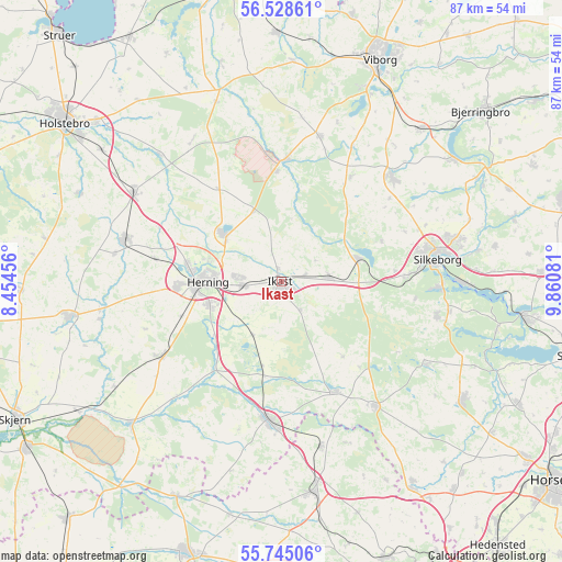
Ikast GPS coordinates[2]
56° 8' 19.788" North, 9° 9' 27.648" East
| Map corner | latitude | longitude |
|---|---|---|
| Upper-left | 56.52861°, | 8.45456° |
| Center: | 56.13883°, | 9.15768° |
| Lower-right: | 55.74506°, | 9.86081° |
| Map W x H: | 87.1×87.1 km | = 54.1×54.1mi |
| max Lat: | 57.72093° ⇑26.3% North |
| Ikast: | 56.13883° |
| min Lat: | ⇓73.7% South 54.57644° |
| min Long | Ikast | max Long |
| 8.12605° | 9.15768° | 15.18662° |
| W 13.7%⇐ | ⇒86.3% E |
Elevation
Elevation of Ikast is 81 m = 266 ft, and this is 53.7 m = 176 ft above average elevation for this country.
| Max E: |
114 m = 374 ft | 2% |
| Ikast | 81 m 266 ft | |
| Avg. | 27.3 m = 90 ft | |
Min E: |
0 m = 0 ft | 98% |
See also: Denmark elevation on elevation.city.
Geographical zone
Ikast is located in North temperate zone (between Tropic of Cancer and the Arctic Circle). Distance of this North polar circle is 1159.1 km =720.2 mi to North.| Distance of | km | miles | from Ikast |
|---|---|---|---|
| North Pole | 3765 | 2339.5 | to North |
| Arctic Circle | 1159.1 | 720.2 | to North |
| Tropic Cancer | 3636.1 | 2259.4 | to South |
| Equator | 6242.1 | 3878.7 | to South |


Nearby cities:
15 places around Ikast: (largest is in red/bold)
• Bording Kirkeby
6.3 km =3.9 mi,  58°
58°
• Brande
21.8 km =13.5 mi,  184°
184°
• Gjellerup
6.4 km =4 mi,  277°
277°
• Hammerum
6 km =3.7 mi,  264°
264°
• Herning
11.2 km =7 mi,  268°
268°
• Isenvad
5.3 km =3.3 mi,  146°
146°
• Karup
18.7 km =11.6 mi,  2°
2°
• Kibæk
22.1 km =13.7 mi,  237°
237°
• Kjellerup
23.7 km =14.7 mi,  46°
46°
• Lind
11.7 km =7.3 mi,  251°
251°
• Silkeborg
24.2 km =15 mi,  81°
81°
• Snejbjerg
15.8 km =9.8 mi, 267°
• Sunds
11.7 km =7.3 mi,  310°
310°
• Vildbjerg
25.1 km =15.6 mi,  285°
285°
• Virklund
24.7 km =15.3 mi,  91°
91°
Sources, notices
• [Note1] Compared only with cities in Denmark existing in our database
• [Src1] Map data: © OpenStreetMap contributors (CC-BY-SA)
• [Src2] Other city data from geonames.org with taken over terms of usage.
• [Src3] Geographical zone / Annual Mean Temperature by Robert A. Rohde @ Wikipedia
