Århus geodata
Århus (Central Jutland) is a seat of a second-order administrative division; located in Denmark in Europe/Copenhagen (GMT+2) time zone. With population of 237,551 people, there is 1 city with bigger population in this country. Compared to other cities in Denmark, 74.9% of cities are located further ↓South; 50.9% of cities are located further →East and 77.2% of cities have higher elevation than Århus. Note1


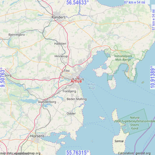
Århus GPS coordinates[2]
56° 9' 24.264" North, 10° 12' 38.736" East
| Map corner | latitude | longitude |
|---|---|---|
| Upper-left | 56.54633°, | 9.50763° |
| Center: | 56.15674°, | 10.21076° |
| Lower-right: | 55.76315°, | 10.91389° |
| Map W x H: | 87.1×87.1 km | = 54.1×54.1mi |
| max Lat: | 57.72093° ⇑25.1% North |
| Århus: | 56.15674° |
| min Lat: | ⇓74.9% South 54.57644° |
| min Long | Århus | max Long |
| 8.12605° | 10.21076° | 15.18662° |
| W 49.1%⇐ | ⇒50.9% E |
Elevation
Elevation of Århus is 10 m = 33 ft, and this is 17.3 m = 57 ft below average elevation for this country.
| Max E: |
114 m = 374 ft | 77.2% |
| Avg. | 27.3 m = 90 ft | |
| Århus | 10 m = 33 ft | |
Min E: |
0 m = 0 ft | 22.8% |
See also: Århus elevation on elevation.city.
Geographical zone
Århus is located in North temperate zone (between Tropic of Cancer and the Arctic Circle). Distance of this North polar circle is 1157.1 km =719 mi to North.| Distance of | km | miles | from Århus |
|---|---|---|---|
| North Pole | 3763 | 2338.2 | to North |
| Arctic Circle | 1157.1 | 719 | to North |
| Tropic Cancer | 3638.1 | 2260.6 | to South |
| Equator | 6244 | 3879.8 | to South |


Nearby cities:
15 places around Århus: (largest is in red/bold)
• Beder
10.7 km =6.6 mi,  179°
179°
• Framlev
12.2 km =7.6 mi,  269°
269°
• Hjortshøj
10.7 km =6.6 mi,  18°
18°
• Hørning
13.3 km =8.3 mi,  234°
234°
• Kolt
10.2 km =6.3 mi,  238°
238°
• Lystrup
9.1 km =5.7 mi,  10°
10°
• Løgten
14.5 km =9 mi,  25°
25°
• Malling
13.4 km =8.3 mi, 183°
• Mårslet
10.5 km =6.5 mi,  197°
197°
• Sabro
12.6 km =7.8 mi,  299°
299°
• Solbjerg
14.8 km =9.2 mi,  211°
211°
• Stavtrup
6.3 km =3.9 mi, 243°
• Søften
11.9 km =7.4 mi,  319°
319°
• Tranbjerg
8.3 km =5.2 mi, 214°
• Trige
11.4 km =7.1 mi,  340°
340°
Sources, notices
• [Note1] Compared only with cities in Denmark existing in our database
• [Src1] Map data: © OpenStreetMap contributors (CC-BY-SA)
• [Src2] Other city data from geonames.org with taken over terms of usage.
• [Src3] Geographical zone / Annual Mean Temperature by Robert A. Rohde @ Wikipedia
