Lavassaare geodata
Lavassaare (Pärnumaa) is a populated place; located in Estonia in Europe/Tallinn (GMT+3) time zone. With population of 548 people, there are 155 cities with bigger population in this country. Compared to other cities in Estonia, 66.3% of cities are located further ↑North; 84.2% of cities are located further →East and 81.1% of cities have higher elevation than Lavassaare. Note1


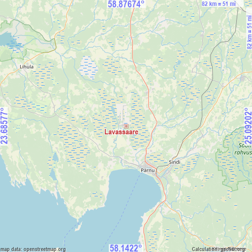
Lavassaare GPS coordinates[2]
58° 30' 41.004" North, 24° 23' 20.004" East
| Map corner | latitude | longitude |
|---|---|---|
| Upper-left | 58.87674°, | 23.68577° |
| Center: | 58.51139°, | 24.38889° |
| Lower-right: | 58.1422°, | 25.09202° |
| Map W x H: | 81.7×81.7 km | = 50.8×50.8mi |
| max Lat: | 59.57639° ⇑66.3% North |
| Lavassaare: | 58.51139° |
| min Lat: | ⇓33.7% South 57.72778° |
| min Long | Lavassaare | max Long |
| 22.24646° | 24.38889° | 28.19028° |
| W 15.8%⇐ | ⇒84.2% E |
Elevation
Elevation of Lavassaare is 22 m = 72 ft, and this is 31.2 m = 102 ft below average elevation for this country.
| Max E: |
141 m = 463 ft | 81.1% |
| Avg. | 53.2 m = 175 ft | |
| Lavassaare | 22 m = 72 ft | |
Min E: |
6 m = 20 ft | 18.9% |
See also: Estonia elevation on elevation.city.
Geographical zone
Lavassaare is located in North temperate zone (between Tropic of Cancer and the Arctic Circle). Distance of this North polar circle is 895.3 km =556.3 mi to North.| Distance of | km | miles | from Lavassaare |
|---|---|---|---|
| North Pole | 3501.2 | 2175.5 | to North |
| Arctic Circle | 895.3 | 556.3 | to North |
| Tropic Cancer | 3899.9 | 2423.3 | to South |
| Equator | 6505.9 | 4042.6 | to South |


Nearby cities:
15 places around Lavassaare: (largest is in red/bold)
• Audru
11.5 km =7.1 mi,  184°
184°
• Järvakandi
39 km =24.2 mi,  40°
40°
• Lihula
36.7 km =22.8 mi,  300°
300°
• Paikuse
20.5 km =12.7 mi,  135°
135°
• Pärnu
15.3 km =9.5 mi,  155°
155°
• Pärnu-Jaagupi
13 km =8.1 mi,  31°
31°
• Risti
32.4 km =20.1 mi,  279°
279°
• Sauga
11.2 km =7 mi,  146°
146°
• Sindi
20.4 km =12.7 mi,  127°
127°
• Tootsi
24.6 km =15.3 mi,  72°
72°
• Tori
25.5 km =15.8 mi,  98°
98°
• Tõstamaa
30.2 km =18.8 mi,  228°
228°
• Uulu
27.8 km =17.3 mi, 155°
• Vana-Vigala
29.5 km =18.3 mi,  346°
346°
• Võiste
7.4 km =4.6 mi, 132°
Sources, notices
• [Note1] Compared only with cities in Estonia existing in our database
• [Src1] Map data: © OpenStreetMap contributors (CC-BY-SA)
• [Src2] Other city data from geonames.org with taken over terms of usage.
• [Src3] Geographical zone / Annual Mean Temperature by Robert A. Rohde @ Wikipedia
