Loksa geodata
Loksa (Harjumaa) is a seat of a second-order administrative division; located in Estonia in Europe/Tallinn (GMT+3) time zone. With population of 3,463 people, there are 32 cities with bigger population in this country. Compared to other cities in Estonia, 100% of cities are located further ↓South; 56.3% of cities are located further ←West and 92.6% of cities have higher elevation than Loksa. Note1


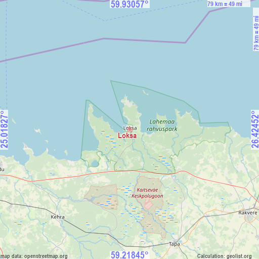
Loksa GPS coordinates[2]
59° 34' 35.004" North, 25° 43' 17.004" East
| Map corner | latitude | longitude |
|---|---|---|
| Upper-left | 59.93057°, | 25.01827° |
| Center: | 59.57639°, | 25.72139° |
| Lower-right: | 59.21845°, | 26.42452° |
| Map W x H: | 79.2×79.2 km | = 49.2×49.2mi |
| max Lat: | 59.57639° ⇑0% North |
| Loksa: | 59.57639° |
| min Lat: | ⇓100% South 57.72778° |
| min Long | Loksa | max Long |
| 22.24646° | 25.72139° | 28.19028° |
| W 56.3%⇐ | ⇒43.7% E |
Elevation
Elevation of Loksa is 11 m = 36 ft, and this is 42.2 m = 138 ft below average elevation for this country.
| Max E: |
141 m = 463 ft | 92.6% |
| Avg. | 53.2 m = 175 ft | |
| Loksa | 11 m = 36 ft | |
Min E: |
6 m = 20 ft | 7.4% |
See also: Estonia elevation on elevation.city.
Geographical zone
Loksa is located in North temperate zone (between Tropic of Cancer and the Arctic Circle). Distance of this North polar circle is 776.9 km =482.7 mi to North.| Distance of | km | miles | from Loksa |
|---|---|---|---|
| North Pole | 3382.8 | 2102 | to North |
| Arctic Circle | 776.9 | 482.7 | to North |
| Tropic Cancer | 4018.4 | 2496.9 | to South |
| Equator | 6624.3 | 4116.1 | to South |


Nearby cities:
15 places around Loksa: (largest is in red/bold)
• Aegviidu
32.9 km =20.4 mi,  190°
190°
• Aruküla
43.3 km =26.9 mi,  237°
237°
• Haljala
34.4 km =21.4 mi,  117°
117°
• Hulja
37.4 km =23.2 mi,  131°
131°
• Kadrina
36 km =22.4 mi,  138°
138°
• Kehra
35 km =21.7 mi,  220°
220°
• Kiiu
24 km =14.9 mi,  233°
233°
• Kostivere
38.9 km =24.2 mi, 244°
• Kuusalu
21.6 km =13.4 mi, 226°
• Lehtmetsa
35.2 km =21.9 mi, 215°
• Maardu
43.5 km =27 mi,  253°
253°
• Raasiku
38.3 km =23.8 mi, 232°
• Tapa
37.6 km =23.4 mi,  159°
159°
• Vaiatu
29 km =18 mi,  147°
147°
• Valkla
25.2 km =15.7 mi, 242°
Sources, notices
• [Note1] Compared only with cities in Estonia existing in our database
• [Src1] Map data: © OpenStreetMap contributors (CC-BY-SA)
• [Src2] Other city data from geonames.org with taken over terms of usage.
• [Src3] Geographical zone / Annual Mean Temperature by Robert A. Rohde @ Wikipedia
