Iznalloz geodata
Iznalloz (Andalusia) is a seat of a third-order administrative division; located in Spain in Europe/Madrid (GMT+2) time zone. With population of 7,005 people, there are 1037 cities with bigger population in this country. Compared to other cities in Spain, 92% of cities are located further ↑North; 52.6% of cities are located further →East and 70.6% of cities have lower elevation than Iznalloz. Note1


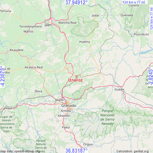
Iznalloz GPS coordinates[2]
37° 23' 33.288" North, 3° 31' 39.432" West
| Map corner | latitude | longitude |
|---|---|---|
| Upper-left | 37.94912°, | -4.23075° |
| Center: | 37.39258°, | -3.52762° |
| Lower-right: | 36.83187°, | -2.8245° |
| Map W x H: | 124.2×124.2 km | = 77.2×77.2mi |
| max Lat: | 43.74134° ⇑92% North |
| Iznalloz: | 37.39258° |
| min Lat: | ⇓8% South 27.64134° |
| min Long | Iznalloz | max Long |
| -18.00367° | -3.52762° | 4.2899° |
| W 47.4%⇐ | ⇒52.6% E |
Elevation
Elevation of Iznalloz is 818 m = 2684 ft, and this is 220 m = 722 ft above average elevation for this country.
| Max E: |
1682 m = 5518 ft | 29.4% |
| Iznalloz | 818 m 2684 ft | |
| Avg. | 598 m = 1962 ft | |
Min E: |
0 m = 0 ft | 70.6% |
See also: Spain elevation on elevation.city.
Geographical zone
Iznalloz is located in North temperate zone (between Tropic of Cancer and the Arctic Circle). Distance of this Northern Tropic circle is 1551.7 km =964.2 mi to South.| Distance of | km | miles | from Iznalloz |
|---|---|---|---|
| North Pole | 5849.4 | 3634.6 | to North |
| Arctic Circle | 3243.5 | 2015.4 | to North |
| Tropic Cancer | 1551.7 | 964.2 | to South |
| Equator | 4157.7 | 2583.5 | to South |


Nearby cities:
15 places around Iznalloz: (largest is in red/bold)
• Alfacar
17.6 km =10.9 mi,  191°
191°
• Benalúa de las Villas
14.3 km =8.9 mi,  285°
285°
• Calicasas
15.5 km =9.6 mi,  209°
209°
• Campotéjar
12.8 km =8 mi,  321°
321°
• Colomera
16.6 km =10.3 mi,  261°
261°
• Dehesas Viejas
9.3 km =5.8 mi,  346°
346°
• Deifontes
9.5 km =5.9 mi,  219°
219°
• Diezma
19 km =11.8 mi,  115°
115°
• Domingo Pérez
11.6 km =7.2 mi,  8°
8°
• Güevéjar
16.2 km =10.1 mi,  202°
202°
• Montillana
17.7 km =11 mi,  313°
313°
• Noalejo
19 km =11.8 mi, 323°
• Nívar
15.5 km =9.6 mi, 196°
• Piñar
9.8 km =6.1 mi,  53°
53°
• Víznar
18.1 km =11.2 mi, 187°
Sources, notices
• [Note1] Compared only with cities in Spain existing in our database
• [Src1] Map data: © OpenStreetMap contributors (CC-BY-SA)
• [Src2] Other city data from geonames.org with taken over terms of usage.
• [Src3] Geographical zone / Annual Mean Temperature by Robert A. Rohde @ Wikipedia
