Ibiza geodata
Ibiza (Balearic Islands) is a seat of a third-order administrative division; located in Spain in Europe/Madrid (GMT+2) time zone. With population of 48,684 people, there are 184 cities with bigger population in this country. Compared to other cities in Spain, 82.1% of cities are located further ↑North; 91.6% of cities are located further ←West and 99.2% of cities have higher elevation than Ibiza. Note1


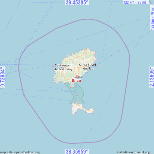
Ibiza GPS coordinates[2]
38° 54' 31.788" North, 1° 25' 58.656" East
| Map corner | latitude | longitude |
|---|---|---|
| Upper-left | 39.45385°, | 0.72984° |
| Center: | 38.90883°, | 1.43296° |
| Lower-right: | 38.35959°, | 2.13609° |
| Map W x H: | 121.7×121.7 km | = 75.6×75.6mi |
| max Lat: | 43.74134° ⇑82.1% North |
| Ibiza: | 38.90883° |
| min Lat: | ⇓17.9% South 27.64134° |
| min Long | Ibiza | max Long |
| -18.00367° | 1.43296° | 4.2899° |
| W 91.6%⇐ | ⇒8.4% E |
Elevation
Elevation of Ibiza is 7 m = 23 ft, and this is 591 m = 1939 ft below average elevation for this country.
| Max E: |
1682 m = 5518 ft | 99.2% |
| Avg. | 598 m = 1962 ft | |
| Ibiza | 7 m = 23 ft | |
Min E: |
0 m = 0 ft | 0.8% |
See also: Ibiza elevation on elevation.city.
Geographical zone
Ibiza is located in North temperate zone (between Tropic of Cancer and the Arctic Circle). Distance of this Northern Tropic circle is 1720.3 km =1068.9 mi to South.| Distance of | km | miles | from Ibiza |
|---|---|---|---|
| North Pole | 5680.8 | 3529.9 | to North |
| Arctic Circle | 3074.9 | 1910.7 | to North |
| Tropic Cancer | 1720.3 | 1068.9 | to South |
| Equator | 4326.3 | 2688.2 | to South |


Nearby cities:
15 places around Ibiza: (largest is in red/bold)
• Andratx
112.8 km =70.1 mi,  48°
48°
• Cala de Portinatx
23.3 km =14.5 mi,  18°
18°
• Camp de Mar
110.4 km =68.6 mi, 50°
• El Toro
110.8 km =68.8 mi, 54°
• Es Cubells
14.2 km =8.8 mi,  257°
257°
• Es Pujols
20.9 km =13 mi,  174°
174°
• Javea
110.5 km =68.7 mi, 262°
• La Savina
19.8 km =12.3 mi,  183°
183°
• Peguera
111.9 km =69.5 mi, 51°
• Sant Antoni de Portmany
13.7 km =8.5 mi,  305°
305°
• Sant Francesc de Formentera
22.6 km =14 mi, 180°
• Sant Joan de Labritja
20.2 km =12.6 mi, 20°
• Sant Josep de sa Talaia
12.1 km =7.5 mi,  277°
277°
• Santa Eulària des Riu
12.1 km =7.5 mi, 46°
• Santa Ponsa
112 km =69.6 mi, 53°
Sources, notices
• [Note1] Compared only with cities in Spain existing in our database
• [Src1] Map data: © OpenStreetMap contributors (CC-BY-SA)
• [Src2] Other city data from geonames.org with taken over terms of usage.
• [Src3] Geographical zone / Annual Mean Temperature by Robert A. Rohde @ Wikipedia
