Villalaco geodata
Villalaco (Castille and León) is a seat of a third-order administrative division; located in Spain in Europe/Madrid (GMT+2) time zone. With population of 74 people, there are 6204 cities with bigger population in this country. Compared to other cities in Spain, 78% of cities are located further ↓South; 63.4% of cities are located further →East and 62.1% of cities have lower elevation than Villalaco. Note1
Administrative division(s):
- Level 1: Castille and León
- Level 2: Provincia de Palencia
- Level 3: Villalaco


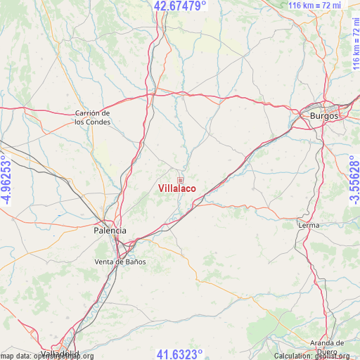
Villalaco GPS coordinates[2]
42° 9' 20.484" North, 4° 15' 33.84" West
| Map corner | latitude | longitude |
|---|---|---|
| Upper-left | 42.67479°, | -4.96253° |
| Center: | 42.15569°, | -4.2594° |
| Lower-right: | 41.6323°, | -3.55628° |
| Map W x H: | 115.9×115.9 km | = 72×72mi |
| max Lat: | 43.74134° ⇑22% North |
| Villalaco: | 42.15569° |
| min Lat: | ⇓78% South 27.64134° |
| min Long | Villalaco | max Long |
| -18.00367° | -4.2594° | 4.2899° |
| W 36.6%⇐ | ⇒63.4% E |
Elevation
Elevation of Villalaco is 758 m = 2487 ft, and this is 160 m = 525 ft above average elevation for this country.
| Max E: |
1682 m = 5518 ft | 37.9% |
| Villalaco | 758 m 2487 ft | |
| Avg. | 598 m = 1962 ft | |
Min E: |
0 m = 0 ft | 62.1% |
See also: Spain elevation on elevation.city.
Geographical zone
Villalaco is located in North temperate zone (between Tropic of Cancer and the Arctic Circle). Distance of this Northern Tropic circle is 2081.4 km =1293.3 mi to South.| Distance of | km | miles | from Villalaco |
|---|---|---|---|
| North Pole | 5319.8 | 3305.6 | to North |
| Arctic Circle | 2713.9 | 1686.3 | to North |
| Tropic Cancer | 2081.4 | 1293.3 | to South |
| Equator | 4687.3 | 2912.6 | to South |


Nearby cities:
15 places around Villalaco: (largest is in red/bold)
• Astudillo
5.1 km =3.2 mi,  325°
325°
• Boadilla del Camino
13.5 km =8.4 mi, 328°
• Cordovilla la Real
8.5 km =5.3 mi,  180°
180°
• Herrera de Valdecañas
12.9 km =8 mi,  157°
157°
• Melgar de Yuso
10.9 km =6.8 mi,  2°
2°
• Palenzuela
12.6 km =7.8 mi,  122°
122°
• Pedrosa del Príncipe
11.5 km =7.1 mi,  25°
25°
• Quintana del Puente
9 km =5.6 mi,  151°
151°
• Santoyo
9.5 km =5.9 mi,  313°
313°
• Torquemada
14.3 km =8.9 mi,  199°
199°
• Valbuena de Pisuerga
1.9 km =1.2 mi, 124°
• Villamediana
14.4 km =8.9 mi,  215°
215°
• Villamedianilla
9.4 km =5.8 mi,  86°
86°
• Villodre
6.3 km =3.9 mi,  10°
10°
• Villodrigo
13.6 km =8.5 mi,  95°
95°
Sources, notices
• [Note1] Compared only with cities in Spain existing in our database
• [Src1] Map data: © OpenStreetMap contributors (CC-BY-SA)
• [Src2] Other city data from geonames.org with taken over terms of usage.
• [Src3] Geographical zone / Annual Mean Temperature by Robert A. Rohde @ Wikipedia
