Tenebrón geodata
Tenebrón (Castille and León) is a seat of a third-order administrative division; located in Spain in Europe/Madrid (GMT+2) time zone. With population of 207 people, there are 4996 cities with bigger population in this country. Compared to other cities in Spain, 59.4% of cities are located further ↑North; 90% of cities are located further →East and 71.8% of cities have lower elevation than Tenebrón. Note1
Administrative division(s):
- Level 1: Castille and León
- Level 2: Provincia de Salamanca
- Level 3: Tenebrón


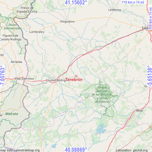
Tenebrón GPS coordinates[2]
40° 37' 28.164" North, 6° 21' 16.2" West
| Map corner | latitude | longitude |
|---|---|---|
| Upper-left | 41.15602°, | -7.05763° |
| Center: | 40.62449°, | -6.3545° |
| Lower-right: | 40.08869°, | -5.65138° |
| Map W x H: | 118.7×118.7 km | = 73.8×73.8mi |
| max Lat: | 43.74134° ⇑59.4% North |
| Tenebrón: | 40.62449° |
| min Lat: | ⇓40.6% South 27.64134° |
| min Long | Tenebrón | max Long |
| -18.00367° | -6.3545° | 4.2899° |
| W 10%⇐ | ⇒90% E |
Elevation
Elevation of Tenebrón is 826 m = 2710 ft, and this is 228 m = 748 ft above average elevation for this country.
| Max E: |
1682 m = 5518 ft | 28.2% |
| Tenebrón | 826 m 2710 ft | |
| Avg. | 598 m = 1962 ft | |
Min E: |
0 m = 0 ft | 71.8% |
See also: Spain elevation on elevation.city.
Geographical zone
Tenebrón is located in North temperate zone (between Tropic of Cancer and the Arctic Circle). Distance of this Northern Tropic circle is 1911.1 km =1187.5 mi to South.| Distance of | km | miles | from Tenebrón |
|---|---|---|---|
| North Pole | 5490 | 3411.3 | to North |
| Arctic Circle | 2884.2 | 1792.2 | to North |
| Tropic Cancer | 1911.1 | 1187.5 | to South |
| Equator | 4517 | 2806.7 | to South |


Nearby cities:
15 places around Tenebrón: (largest is in red/bold)
• Alba de Yeltes
6.2 km =3.9 mi,  31°
31°
• Aldehuela de Yeltes
10.3 km =6.4 mi,  65°
65°
• Cabrillas
19.6 km =12.2 mi,  49°
49°
• Castraz
9.1 km =5.7 mi,  10°
10°
• Ciudad Rodrigo
15.3 km =9.5 mi,  259°
259°
• Dios le Guarde
3.9 km =2.4 mi,  58°
58°
• Martín de Yeltes
17.7 km =11 mi,  17°
17°
• Monsagro
15.2 km =9.4 mi,  152°
152°
• Morasverdes
7.2 km =4.5 mi,  111°
111°
• Pastores
17.9 km =11.1 mi,  227°
227°
• Puebla de Yeltes
14.6 km =9.1 mi,  89°
89°
• Sancti Spíritus
9.8 km =6.1 mi,  336°
336°
• Serradilla del Arroyo
11.5 km =7.1 mi,  182°
182°
• Serradilla del Llano
13.8 km =8.6 mi, 180°
• Zamarra
14.4 km =8.9 mi,  215°
215°
Sources, notices
• [Note1] Compared only with cities in Spain existing in our database
• [Src1] Map data: © OpenStreetMap contributors (CC-BY-SA)
• [Src2] Other city data from geonames.org with taken over terms of usage.
• [Src3] Geographical zone / Annual Mean Temperature by Robert A. Rohde @ Wikipedia
