Puente la Reina geodata
Puente la Reina (Navarre) is a populated place; located in Spain in Europe/Madrid (GMT+2) time zone. With population of 2,577 people, there are 1870 cities with bigger population in this country. Compared to other cities in Spain, 91.1% of cities are located further ↓South; 69.3% of cities are located further ←West and 71.8% of cities have higher elevation than Puente la Reina. Note1
Administrative division(s):
- Level 1: Navarre
- Level 2: Provincia de Navarra
- Level 3: Puente la Reina/Gares


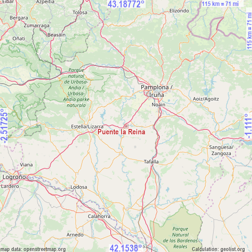
Puente la Reina GPS coordinates[2]
42° 40' 22.476" North, 1° 48' 50.832" West
| Map corner | latitude | longitude |
|---|---|---|
| Upper-left | 43.18772°, | -2.51725° |
| Center: | 42.67291°, | -1.81412° |
| Lower-right: | 42.1538°, | -1.111° |
| Map W x H: | 115×115 km | = 71.5×71.5mi |
| max Lat: | 43.74134° ⇑8.9% North |
| Puente la Reina: | 42.67291° |
| min Lat: | ⇓91.1% South 27.64134° |
| min Long | Puente la Reina | max Long |
| -18.00367° | -1.81412° | 4.2899° |
| W 69.3%⇐ | ⇒30.7% E |
Elevation
Elevation of Puente la Reina is 352 m = 1155 ft, and this is 246 m = 807 ft below average elevation for this country.
| Max E: |
1682 m = 5518 ft | 71.8% |
| Avg. | 598 m = 1962 ft | |
| Puente la Reina | 352 m = 1155 ft | |
Min E: |
0 m = 0 ft | 28.2% |
See also: Spain elevation on elevation.city.
Geographical zone
Puente la Reina is located in North temperate zone (between Tropic of Cancer and the Arctic Circle). Distance of this Northern Tropic circle is 2138.9 km =1329.1 mi to South.| Distance of | km | miles | from Puente la Reina |
|---|---|---|---|
| North Pole | 5262.3 | 3269.8 | to North |
| Arctic Circle | 2656.4 | 1650.6 | to North |
| Tropic Cancer | 2138.9 | 1329.1 | to South |
| Equator | 4744.8 | 2948.3 | to South |


Nearby cities:
15 places around Puente la Reina: (largest is in red/bold)
• Adiós
6.6 km =4.1 mi,  76°
76°
• Artajona
10.2 km =6.3 mi,  156°
156°
• Artazu
3 km =1.9 mi,  316°
316°
• Añorbe
8.3 km =5.2 mi,  102°
102°
• Belascoáin
9.4 km =5.8 mi,  350°
350°
• Cirauqui
6.3 km =3.9 mi,  273°
273°
• Enériz
7 km =4.3 mi,  91°
91°
• Guirguillano
7.2 km =4.5 mi,  313°
313°
• Legarda
5.7 km =3.5 mi,  40°
40°
• Mañeru
4 km =2.5 mi, 265°
• Mendigorría
5.2 km =3.2 mi,  198°
198°
• Muruzábal
4.2 km =2.6 mi,  61°
61°
• Obanos
2.5 km =1.6 mi,  70°
70°
• Tirapu
9.3 km =5.8 mi, 100°
• Uterga
6 km =3.7 mi,  47°
47°
Sources, notices
• [Note1] Compared only with cities in Spain existing in our database
• [Src1] Map data: © OpenStreetMap contributors (CC-BY-SA)
• [Src2] Other city data from geonames.org with taken over terms of usage.
• [Src3] Geographical zone / Annual Mean Temperature by Robert A. Rohde @ Wikipedia
