Navamorales geodata
Navamorales (Castille and León) is a seat of a third-order administrative division; located in Spain in Europe/Madrid (GMT+2) time zone. With population of 127 people, there are 5616 cities with bigger population in this country. Compared to other cities in Spain, 62.3% of cities are located further ↑North; 78.4% of cities are located further →East and 87.9% of cities have lower elevation than Navamorales. Note1
Administrative division(s):
- Level 1: Castille and León
- Level 2: Provincia de Salamanca
- Level 3: Navamorales


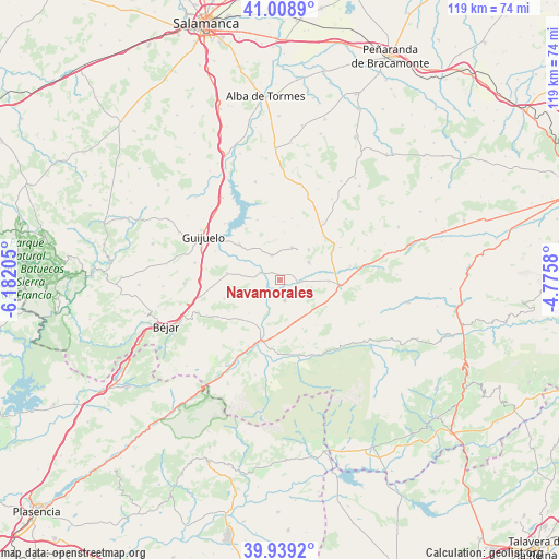
Navamorales GPS coordinates[2]
40° 28' 34.248" North, 5° 28' 44.148" West
| Map corner | latitude | longitude |
|---|---|---|
| Upper-left | 41.0089°, | -6.18205° |
| Center: | 40.47618°, | -5.47893° |
| Lower-right: | 39.9392°, | -4.7758° |
| Map W x H: | 118.9×118.9 km | = 73.9×73.9mi |
| max Lat: | 43.74134° ⇑62.3% North |
| Navamorales: | 40.47618° |
| min Lat: | ⇓37.7% South 27.64134° |
| min Long | Navamorales | max Long |
| -18.00367° | -5.47893° | 4.2899° |
| W 21.6%⇐ | ⇒78.4% E |
Elevation
Elevation of Navamorales is 995 m = 3264 ft, and this is 397 m = 1302 ft above average elevation for this country.
| Max E: |
1682 m = 5518 ft | 12.1% |
| Navamorales | 995 m 3264 ft | |
| Avg. | 598 m = 1962 ft | |
Min E: |
0 m = 0 ft | 87.9% |
See also: Spain elevation on elevation.city.
Geographical zone
Navamorales is located in North temperate zone (between Tropic of Cancer and the Arctic Circle). Distance of this Northern Tropic circle is 1894.6 km =1177.2 mi to South.| Distance of | km | miles | from Navamorales |
|---|---|---|---|
| North Pole | 5506.5 | 3421.6 | to North |
| Arctic Circle | 2900.6 | 1802.3 | to North |
| Tropic Cancer | 1894.6 | 1177.2 | to South |
| Equator | 4500.5 | 2796.5 | to South |


Nearby cities:
15 places around Navamorales: (largest is in red/bold)
• Aldeanueva de Santa Cruz
11.6 km =7.2 mi,  155°
155°
• Cespedosa
11.4 km =7.1 mi,  311°
311°
• Hoyorredondo
5.9 km =3.7 mi,  104°
104°
• Junciana
9.8 km =6.1 mi,  222°
222°
• La Horcajada
4.5 km =2.8 mi,  166°
166°
• Malpartida de Corneja
12 km =7.5 mi,  64°
64°
• Narrillos del Álamo
10.1 km =6.3 mi,  6°
6°
• Puente del Congosto
4.3 km =2.7 mi,  291°
291°
• San Bartolomé de Corneja
8.1 km =5 mi,  77°
77°
• San Lorenzo de Tormes
11.9 km =7.4 mi,  183°
183°
• Santa María de los Caballeros
9.9 km =6.2 mi, 166°
• Santa María del Berrocal
7.2 km =4.5 mi, 60°
• Santiago del Collado
11.4 km =7.1 mi,  114°
114°
• Santibáñez de Béjar
11.3 km =7 mi,  276°
276°
• Villar de Corneja
3.9 km =2.4 mi,  92°
92°
Sources, notices
• [Note1] Compared only with cities in Spain existing in our database
• [Src1] Map data: © OpenStreetMap contributors (CC-BY-SA)
• [Src2] Other city data from geonames.org with taken over terms of usage.
• [Src3] Geographical zone / Annual Mean Temperature by Robert A. Rohde @ Wikipedia
