Les geodata
Les (Catalonia) is a seat of a third-order administrative division; located in Spain in Europe/Madrid (GMT+2) time zone. With population of 755 people, there are 3295 cities with bigger population in this country. Compared to other cities in Spain, 92.8% of cities are located further ↓South; 89.7% of cities are located further ←West and 51.9% of cities have higher elevation than Les. Note1


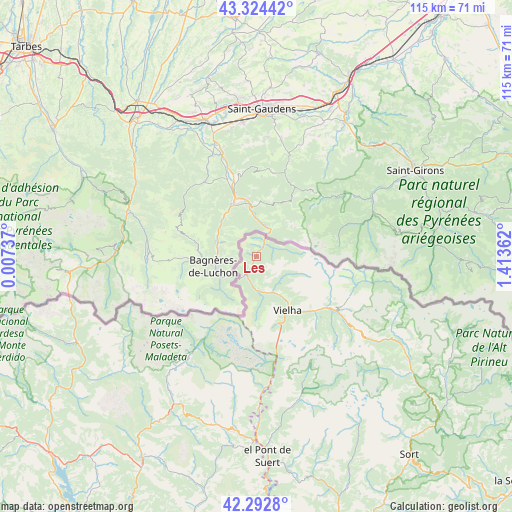
Les GPS coordinates[2]
42° 48' 38.736" North, 0° 42' 37.8" East
| Map corner | latitude | longitude |
|---|---|---|
| Upper-left | 43.32442°, | 0.00737° |
| Center: | 42.81076°, | 0.7105° |
| Lower-right: | 42.2928°, | 1.41362° |
| Map W x H: | 114.7×114.7 km | = 71.3×71.3mi |
| max Lat: | 43.74134° ⇑7.2% North |
| Les: | 42.81076° |
| min Lat: | ⇓92.8% South 27.64134° |
| min Long | Les | max Long |
| -18.00367° | 0.7105° | 4.2899° |
| W 89.7%⇐ | ⇒10.3% E |
Elevation
Elevation of Les is 638 m = 2093 ft, and this is 40 m = 131 ft above average elevation for this country.
| Max E: |
1682 m = 5518 ft | 51.9% |
| Les | 638 m 2093 ft | |
| Avg. | 598 m = 1962 ft | |
Min E: |
0 m = 0 ft | 48.1% |
See also: Spain elevation on elevation.city.
Geographical zone
Les is located in North temperate zone (between Tropic of Cancer and the Arctic Circle). Distance of this Northern Tropic circle is 2154.2 km =1338.6 mi to South.| Distance of | km | miles | from Les |
|---|---|---|---|
| North Pole | 5247 | 3260.3 | to North |
| Arctic Circle | 2641.1 | 1641.1 | to North |
| Tropic Cancer | 2154.2 | 1338.6 | to South |
| Equator | 4760.1 | 2957.8 | to South |


Nearby cities:
15 places around Les: (largest is in red/bold)
• Barruera
34.8 km =21.6 mi,  167°
167°
• Benasque
27.5 km =17.1 mi,  213°
213°
• Bisaurri
38.7 km =24 mi, 205°
• Bonansa
42.8 km =26.6 mi,  184°
184°
• Castejón de Sos
37.7 km =23.4 mi, 208°
• Chía
38 km =23.6 mi, 211°
• Espot
40.2 km =25 mi,  130°
130°
• Gistaín
39.2 km =24.4 mi,  231°
231°
• Laspaúles
38.9 km =24.2 mi,  193°
193°
• Plan
39.8 km =24.7 mi, 230°
• Sahún
32.9 km =20.4 mi,  217°
217°
• Sesué
34.8 km =21.6 mi, 214°
• Vielha
13.9 km =8.6 mi,  150°
150°
• Vilaller
37.2 km =23.1 mi, 179°
• Villanova
35.7 km =22.2 mi, 214°
Sources, notices
• [Note1] Compared only with cities in Spain existing in our database
• [Src1] Map data: © OpenStreetMap contributors (CC-BY-SA)
• [Src2] Other city data from geonames.org with taken over terms of usage.
• [Src3] Geographical zone / Annual Mean Temperature by Robert A. Rohde @ Wikipedia
