Huesa del Común geodata
Huesa del Común (Aragon) is a seat of a third-order administrative division; located in Spain in Europe/Madrid (GMT+2) time zone. With population of 107 people, there are 5841 cities with bigger population in this country. Compared to other cities in Spain, 51.3% of cities are located further ↑North; 77.8% of cities are located further ←West and 75.7% of cities have lower elevation than Huesa del Común. Note1


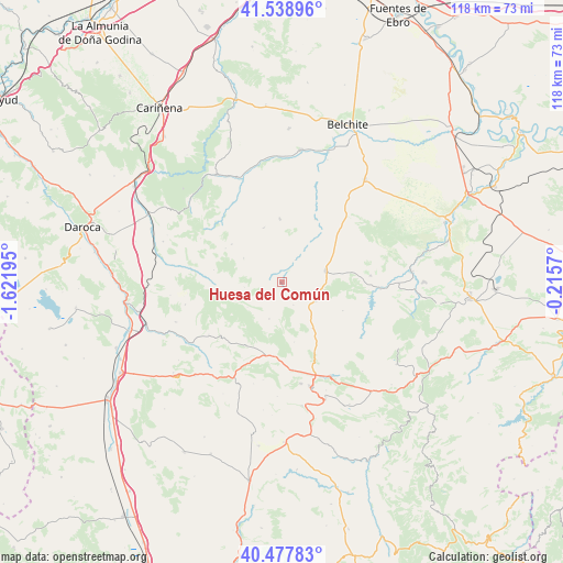
Huesa del Común GPS coordinates[2]
41° 0' 37.908" North, 0° 55' 7.752" West
| Map corner | latitude | longitude |
|---|---|---|
| Upper-left | 41.53896°, | -1.62195° |
| Center: | 41.01053°, | -0.91882° |
| Lower-right: | 40.47783°, | -0.2157° |
| Map W x H: | 118×118 km | = 73.3×73.3mi |
| max Lat: | 43.74134° ⇑51.3% North |
| Huesa del Común: | 41.01053° |
| min Lat: | ⇓48.7% South 27.64134° |
| min Long | Huesa del Comú | max Long |
| -18.00367° | -0.91882° | 4.2899° |
| W 77.8%⇐ | ⇒22.2% E |
Elevation
Elevation of Huesa del Común is 858 m = 2815 ft, and this is 260 m = 853 ft above average elevation for this country.
| Max E: |
1682 m = 5518 ft | 24.3% |
| Huesa del Común | 858 m 2815 ft | |
| Avg. | 598 m = 1962 ft | |
Min E: |
0 m = 0 ft | 75.7% |
See also: Spain elevation on elevation.city.
Geographical zone
Huesa del Común is located in North temperate zone (between Tropic of Cancer and the Arctic Circle). Distance of this Northern Tropic circle is 1954 km =1214.2 mi to South.| Distance of | km | miles | from Huesa del Común |
|---|---|---|---|
| North Pole | 5447.1 | 3384.7 | to North |
| Arctic Circle | 2841.2 | 1765.4 | to North |
| Tropic Cancer | 1954 | 1214.2 | to South |
| Equator | 4559.9 | 2833.4 | to South |


Nearby cities:
15 places around Huesa del Común: (largest is in red/bold)
• Allueva
10.8 km =6.7 mi,  254°
254°
• Anadón
6.3 km =3.9 mi,  239°
239°
• Blesa
5.4 km =3.4 mi,  31°
31°
• Cortes de Aragón
8.1 km =5 mi,  120°
120°
• Fonfría
14 km =8.7 mi,  263°
263°
• Josa
14.1 km =8.8 mi, 115°
• Loscos
13.1 km =8.1 mi,  306°
306°
• Maicas
5.4 km =3.4 mi,  153°
153°
• Monforte de Moyuela
9.4 km =5.8 mi,  301°
301°
• Moyuela
13.1 km =8.1 mi,  358°
358°
• Muniesa
9.4 km =5.8 mi,  74°
74°
• Plenas
11.9 km =7.4 mi,  341°
341°
• Plou
5.8 km =3.6 mi,  110°
110°
• Salcedillo
9 km =5.6 mi,  233°
233°
• Segura de los Baños
8.2 km =5.1 mi,  199°
199°
Sources, notices
• [Note1] Compared only with cities in Spain existing in our database
• [Src1] Map data: © OpenStreetMap contributors (CC-BY-SA)
• [Src2] Other city data from geonames.org with taken over terms of usage.
• [Src3] Geographical zone / Annual Mean Temperature by Robert A. Rohde @ Wikipedia
