Galar geodata
Galar (Navarre) is a seat of a third-order administrative division; located in Spain in Europe/Madrid (GMT+2) time zone. With population of 1,368 people, there are 2576 cities with bigger population in this country. Compared to other cities in Spain, 92.2% of cities are located further ↓South; 70.7% of cities are located further ←West and 58% of cities have higher elevation than Galar. Note1


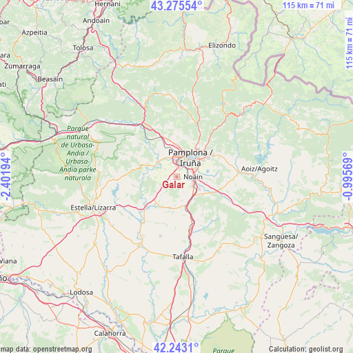
Galar GPS coordinates[2]
42° 45' 41.292" North, 1° 41' 55.716" West
| Map corner | latitude | longitude |
|---|---|---|
| Upper-left | 43.27554°, | -2.40194° |
| Center: | 42.76147°, | -1.69881° |
| Lower-right: | 42.2431°, | -0.99569° |
| Map W x H: | 114.8×114.8 km | = 71.3×71.3mi |
| max Lat: | 43.74134° ⇑7.8% North |
| Galar: | 42.76147° |
| min Lat: | ⇓92.2% South 27.64134° |
| min Long | Galar | max Long |
| -18.00367° | -1.69881° | 4.2899° |
| W 70.7%⇐ | ⇒29.3% E |
Elevation
Elevation of Galar is 552 m = 1811 ft, and this is 46 m = 151 ft below average elevation for this country.
| Max E: |
1682 m = 5518 ft | 58% |
| Avg. | 598 m = 1962 ft | |
| Galar | 552 m = 1811 ft | |
Min E: |
0 m = 0 ft | 42% |
See also: Spain elevation on elevation.city.
Geographical zone
Galar is located in North temperate zone (between Tropic of Cancer and the Arctic Circle). Distance of this Northern Tropic circle is 2148.7 km =1335.1 mi to South.| Distance of | km | miles | from Galar |
|---|---|---|---|
| North Pole | 5252.4 | 3263.7 | to North |
| Arctic Circle | 2646.5 | 1644.5 | to North |
| Tropic Cancer | 2148.7 | 1335.1 | to South |
| Equator | 4754.6 | 2954.4 | to South |


Nearby cities:
15 places around Galar: (largest is in red/bold)
• Adiós
8.9 km =5.5 mi,  199°
199°
• Barañáin
5.2 km =3.2 mi,  19°
19°
• Beriáin
5.4 km =3.4 mi,  125°
125°
• Berriozar
8.1 km =5 mi, 18°
• Burlata
9.8 km =6.1 mi,  43°
43°
• Cizur Mayor
3 km =1.9 mi,  12°
12°
• Ermitagaña
6.2 km =3.9 mi,  27°
27°
• Iturrama
6.2 km =3.9 mi, 32°
• Itza
8.7 km =5.4 mi,  343°
343°
• Legarda
7.9 km =4.9 mi,  225°
225°
• Orkoien
6.9 km =4.3 mi,  355°
355°
• Pamplona
7.6 km =4.7 mi, 36°
• Primer Ensanche
7.2 km =4.5 mi, 34°
• Segundo Ensanche
7.4 km =4.6 mi, 38°
• Uterga
7.6 km =4.7 mi,  221°
221°
Sources, notices
• [Note1] Compared only with cities in Spain existing in our database
• [Src1] Map data: © OpenStreetMap contributors (CC-BY-SA)
• [Src2] Other city data from geonames.org with taken over terms of usage.
• [Src3] Geographical zone / Annual Mean Temperature by Robert A. Rohde @ Wikipedia
