Durango geodata
Durango (Basque Country) is a seat of a third-order administrative division; located in Spain in Europe/Madrid (GMT+2) time zone. With population of 28,229 people, there are 332 cities with bigger population in this country. Compared to other cities in Spain, 96.1% of cities are located further ↓South; 59.4% of cities are located further ←West and 86.5% of cities have higher elevation than Durango. Note1


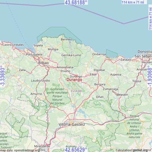
Durango GPS coordinates[2]
43° 10' 16.464" North, 2° 38' 1.68" West
| Map corner | latitude | longitude |
|---|---|---|
| Upper-left | 43.68188°, | -3.33693° |
| Center: | 43.17124°, | -2.6338° |
| Lower-right: | 42.65629°, | -1.93068° |
| Map W x H: | 114×114 km | = 70.8×70.8mi |
| max Lat: | 43.74134° ⇑3.9% North |
| Durango: | 43.17124° |
| min Lat: | ⇓96.1% South 27.64134° |
| min Long | Durango | max Long |
| -18.00367° | -2.6338° | 4.2899° |
| W 59.4%⇐ | ⇒40.6% E |
Elevation
Elevation of Durango is 116 m = 381 ft, and this is 482 m = 1581 ft below average elevation for this country.
| Max E: |
1682 m = 5518 ft | 86.5% |
| Avg. | 598 m = 1962 ft | |
| Durango | 116 m = 381 ft | |
Min E: |
0 m = 0 ft | 13.5% |
See also: Spain elevation on elevation.city.
Geographical zone
Durango is located in North temperate zone (between Tropic of Cancer and the Arctic Circle). Distance of this Northern Tropic circle is 2194.3 km =1363.5 mi to South.| Distance of | km | miles | from Durango |
|---|---|---|---|
| North Pole | 5206.9 | 3235.4 | to North |
| Arctic Circle | 2601 | 1616.2 | to North |
| Tropic Cancer | 2194.3 | 1363.5 | to South |
| Equator | 4800.2 | 2982.7 | to South |


Nearby cities:
15 places around Durango: (largest is in red/bold)
• Abadiño
3 km =1.9 mi,  138°
138°
• Amorebieta
9.5 km =5.9 mi,  302°
302°
• Areatza
12.4 km =7.7 mi,  240°
240°
• Berriz
5.5 km =3.4 mi,  95°
95°
• Eibar
13.2 km =8.2 mi,  83°
83°
• Elgeta
12.4 km =7.7 mi,  107°
107°
• Elorrio
8.9 km =5.5 mi,  121°
121°
• Ermua
10.8 km =6.7 mi, 80°
• Herriko Plaza
12.8 km =8 mi,  250°
250°
• Iurreta
1.3 km =0.8 mi,  1°
1°
• Izurtza
2.4 km =1.5 mi,  179°
179°
• Mañaria
4.3 km =2.7 mi,  211°
211°
• Muxika
13.9 km =8.6 mi,  341°
341°
• Zaldibar
8.2 km =5.1 mi,  93°
93°
• Zeanuri
12.3 km =7.6 mi,  229°
229°
Sources, notices
• [Note1] Compared only with cities in Spain existing in our database
• [Src1] Map data: © OpenStreetMap contributors (CC-BY-SA)
• [Src2] Other city data from geonames.org with taken over terms of usage.
• [Src3] Geographical zone / Annual Mean Temperature by Robert A. Rohde @ Wikipedia
