Caltojar geodata
Caltojar (Castille and León) is a seat of a third-order administrative division; located in Spain in Europe/Madrid (GMT+2) time zone. With population of 109 people, there are 5820 cities with bigger population in this country. Compared to other cities in Spain, 57.8% of cities are located further ↓South; 57.9% of cities are located further ←West and 86.3% of cities have lower elevation than Caltojar. Note1
Administrative division(s):
- Level 1: Castille and León
- Level 2: Provincia de Soria
- Level 3: Caltojar


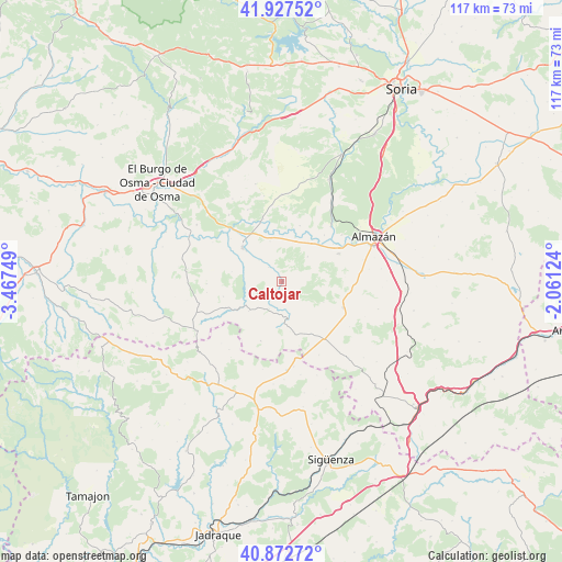
Caltojar GPS coordinates[2]
41° 24' 8.136" North, 2° 45' 51.696" West
| Map corner | latitude | longitude |
|---|---|---|
| Upper-left | 41.92752°, | -3.46749° |
| Center: | 41.40226°, | -2.76436° |
| Lower-right: | 40.87272°, | -2.06124° |
| Map W x H: | 117.3×117.3 km | = 72.9×72.9mi |
| max Lat: | 43.74134° ⇑42.2% North |
| Caltojar: | 41.40226° |
| min Lat: | ⇓57.8% South 27.64134° |
| min Long | Caltojar | max Long |
| -18.00367° | -2.76436° | 4.2899° |
| W 57.9%⇐ | ⇒42.1% E |
Elevation
Elevation of Caltojar is 968 m = 3176 ft, and this is 370 m = 1214 ft above average elevation for this country.
| Max E: |
1682 m = 5518 ft | 13.7% |
| Caltojar | 968 m 3176 ft | |
| Avg. | 598 m = 1962 ft | |
Min E: |
0 m = 0 ft | 86.3% |
See also: Spain elevation on elevation.city.
Geographical zone
Caltojar is located in North temperate zone (between Tropic of Cancer and the Arctic Circle). Distance of this Northern Tropic circle is 1997.6 km =1241.3 mi to South.| Distance of | km | miles | from Caltojar |
|---|---|---|---|
| North Pole | 5403.6 | 3357.6 | to North |
| Arctic Circle | 2797.7 | 1738.4 | to North |
| Tropic Cancer | 1997.6 | 1241.3 | to South |
| Equator | 4603.5 | 2860.5 | to South |


Nearby cities:
15 places around Caltojar: (largest is in red/bold)
• Alpanseque
17.1 km =10.6 mi,  152°
152°
• Arenillas
9.2 km =5.7 mi,  228°
228°
• Barca
13.2 km =8.2 mi,  63°
63°
• Barcones
13.1 km =8.1 mi,  199°
199°
• Bayubas de Abajo
17.7 km =11 mi,  321°
321°
• Bañuelos
18 km =11.2 mi,  224°
224°
• Berlanga de Duero
10.7 km =6.6 mi,  311°
311°
• Centenera de Andaluz
12.2 km =7.6 mi,  18°
18°
• Fuentepinilla
18.3 km =11.4 mi,  0°
0°
• Matamala de Almazán
15.4 km =9.6 mi,  41°
41°
• Paredes de Sigüenza
17.9 km =11.1 mi,  171°
171°
• Rello
7.8 km =4.8 mi, 170°
• Tajueco
16.5 km =10.3 mi,  334°
334°
• Velamazán
7.5 km =4.7 mi,  46°
46°
• Villasayas
14 km =8.7 mi,  113°
113°
Sources, notices
• [Note1] Compared only with cities in Spain existing in our database
• [Src1] Map data: © OpenStreetMap contributors (CC-BY-SA)
• [Src2] Other city data from geonames.org with taken over terms of usage.
• [Src3] Geographical zone / Annual Mean Temperature by Robert A. Rohde @ Wikipedia
