Saukkola geodata
Saukkola (Uusimaa) is a seat of a third-order administrative division; located in Finland in Europe/Helsinki (GMT+3) time zone. In our database, there are 443 cities with bigger population. Compared to other cities in Finland, 91% of cities are located further ↑North; 60.9% of cities are located further →East and 65.2% of cities have higher elevation than Saukkola. Note1


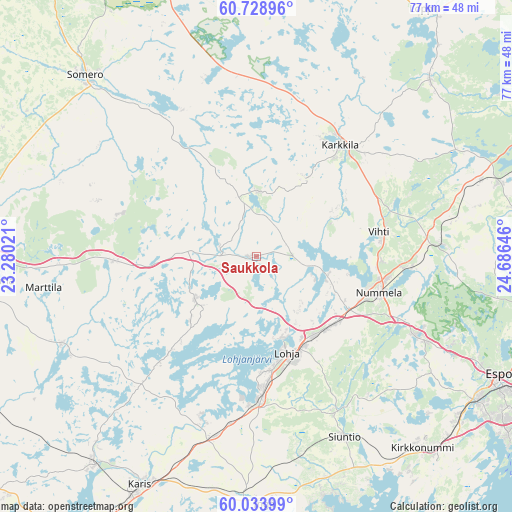
Saukkola GPS coordinates[2]
60° 22' 59.988" North, 23° 58' 59.988" East
| Map corner | latitude | longitude |
|---|---|---|
| Upper-left | 60.72896°, | 23.28021° |
| Center: | 60.38333°, | 23.98333° |
| Lower-right: | 60.03399°, | 24.68646° |
| Map W x H: | 77.3×77.3 km | = 48×48mi |
| max Lat: | 69.90864° ⇑91% North |
| Saukkola: | 60.38333° |
| min Lat: | ⇓9% South 59.83333° |
| min Long | Saukkola | max Long |
| 21.2° | 23.98333° | 30.93276° |
| W 39.1%⇐ | ⇒60.9% E |
Elevation
Elevation of Saukkola is 50 m = 164 ft, and this is 27.1 m = 89 ft below average elevation for this country.
| Max E: |
299 m = 981 ft | 65.2% |
| Avg. | 77.1 m = 253 ft | |
| Saukkola | 50 m = 164 ft | |
Min E: |
1 m = 3 ft | 34.8% |
See also: Finland elevation on elevation.city.
Geographical zone
Saukkola is located in North temperate zone (between Tropic of Cancer and the Arctic Circle). Distance of this North polar circle is 687.2 km =427 mi to North.| Distance of | km | miles | from Saukkola |
|---|---|---|---|
| North Pole | 3293.1 | 2046.2 | to North |
| Arctic Circle | 687.2 | 427 | to North |
| Tropic Cancer | 4108.1 | 2552.7 | to South |
| Equator | 6714 | 4171.9 | to South |


Nearby cities:
15 places around Saukkola: (largest is in red/bold)
• Ingå
37.5 km =23.3 mi,  178°
178°
• Karis
38.9 km =24.2 mi,  207°
207°
• Karjalohja
21.6 km =13.4 mi,  222°
222°
• Karkkila
20.9 km =13 mi,  36°
36°
• Kiikala
24.7 km =15.3 mi,  292°
292°
• Kirkkonummi
38.3 km =23.8 mi,  138°
138°
• Kisko
32.2 km =20 mi,  238°
238°
• Kärkölä
25.6 km =15.9 mi,  354°
354°
• Lohja
15.6 km =9.7 mi,  163°
163°
• Muurla
38.7 km =24 mi,  264°
264°
• Sammatti
11.4 km =7.1 mi,  231°
231°
• Siuntio
30.4 km =18.9 mi,  153°
153°
• Somero
35.8 km =22.2 mi,  316°
316°
• Suomusjärvi
18.7 km =11.6 mi, 258°
• Vihti
18.8 km =11.7 mi,  78°
78°
Sources, notices
• [Note1] Compared only with cities in Finland existing in our database
• [Src1] Map data: © OpenStreetMap contributors (CC-BY-SA)
• [Src2] Other city data from geonames.org with taken over terms of usage.
• [Src3] Geographical zone / Annual Mean Temperature by Robert A. Rohde @ Wikipedia
