Korsnäs geodata
Korsnäs (Ostrobothnia) is a seat of a third-order administrative division; located in Finland in Europe/Helsinki (GMT+3) time zone. With population of 2,194 people, there are 339 cities with bigger population in this country. Compared to other cities in Finland, 66.5% of cities are located further ↓South; 100% of cities are located further →East and 87.6% of cities have higher elevation than Korsnäs. Note1


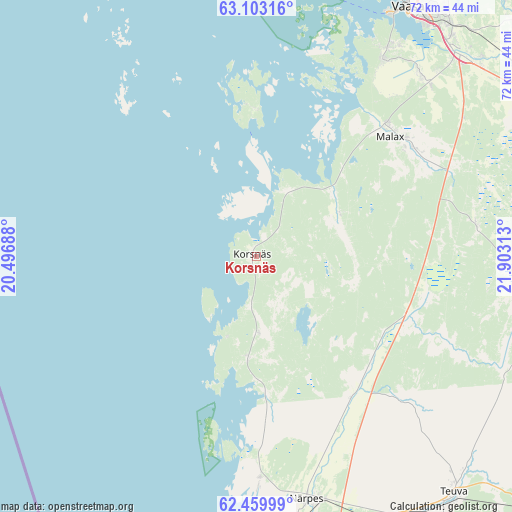
Korsnäs GPS coordinates[2]
62° 46' 59.988" North, 21° 12' 0" East
| Map corner | latitude | longitude |
|---|---|---|
| Upper-left | 63.10316°, | 20.49688° |
| Center: | 62.78333°, | 21.2° |
| Lower-right: | 62.45999°, | 21.90313° |
| Map W x H: | 71.5×71.5 km | = 44.4×44.4mi |
| max Lat: | 69.90864° ⇑33.5% North |
| Korsnäs: | 62.78333° |
| min Lat: | ⇓66.5% South 59.83333° |
| min Long | Korsnäs | max Long |
| 21.2° | 21.2° | 30.93276° |
| W 0%⇐ | ⇒100% E |
Elevation
Elevation of Korsnäs is 14 m = 46 ft, and this is 63.1 m = 207 ft below average elevation for this country.
| Max E: |
299 m = 981 ft | 87.6% |
| Avg. | 77.1 m = 253 ft | |
| Korsnäs | 14 m = 46 ft | |
Min E: |
1 m = 3 ft | 12.4% |
See also: Finland elevation on elevation.city.
Geographical zone
Korsnäs is located in North temperate zone (between Tropic of Cancer and the Arctic Circle). Distance of this North polar circle is 420.3 km =261.2 mi to North.| Distance of | km | miles | from Korsnäs |
|---|---|---|---|
| North Pole | 3026.2 | 1880.4 | to North |
| Arctic Circle | 420.3 | 261.2 | to North |
| Tropic Cancer | 4374.9 | 2718.4 | to South |
| Equator | 6980.9 | 4337.7 | to South |


Nearby cities:
15 places around Korsnäs: (largest is in red/bold)
• Hietalahti
39.6 km =24.6 mi,  32°
32°
• Jurva
41.4 km =25.7 mi,  105°
105°
• Kaskinen
44.4 km =27.6 mi,  178°
178°
• Korsholm
44.1 km =27.4 mi, 33°
• Kristinestad
57.3 km =35.6 mi,  170°
170°
• Laihia
46.4 km =28.8 mi,  62°
62°
• Malax
25.9 km =16.1 mi,  46°
46°
• Närpes
35.2 km =21.9 mi, 168°
• Replot
50.7 km =31.5 mi,  12°
12°
• Ristinummi
43.3 km =26.9 mi,  37°
37°
• Smedsby
44.9 km =27.9 mi, 34°
• Teeriniemi
43 km =26.7 mi, 35°
• Teuva
43.5 km =27 mi,  140°
140°
• Vaasa
40.6 km =25.2 mi, 31°
• Vähäkyrö
55 km =34.2 mi, 56°
Sources, notices
• [Note1] Compared only with cities in Finland existing in our database
• [Src1] Map data: © OpenStreetMap contributors (CC-BY-SA)
• [Src2] Other city data from geonames.org with taken over terms of usage.
• [Src3] Geographical zone / Annual Mean Temperature by Robert A. Rohde @ Wikipedia
