Villefranque geodata
Villefranque (Nouvelle-Aquitaine) is a populated place; located in France in Europe/Paris (GMT+2) time zone. With population of 2,104 people, there are 4584 cities with bigger population in this country. Compared to other cities in France, 93.8% of cities are located further ↑North; 91.9% of cities are located further →East and 81.1% of cities have higher elevation than Villefranque. Note1
Administrative division(s):
- Level 1: Nouvelle-Aquitaine
- Level 2: Département des Pyrénées-Atlantiques
- Level 3: Arrondissement de Bayonne
- Level 4: Villefranque


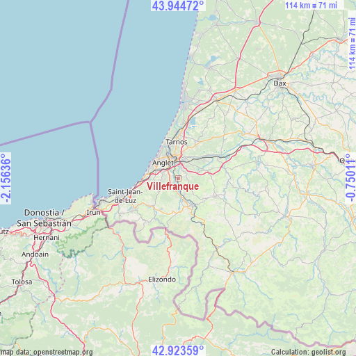
Villefranque GPS coordinates[2]
43° 26' 10.716" North, 1° 27' 11.664" West
| Map corner | latitude | longitude |
|---|---|---|
| Upper-left | 43.94472°, | -2.15636° |
| Center: | 43.43631°, | -1.45324° |
| Lower-right: | 42.92359°, | -0.75011° |
| Map W x H: | 113.5×113.5 km | = 70.5×70.5mi |
| max Lat: | 51.07786° ⇑93.8% North |
| Villefranque: | 43.43631° |
| min Lat: | ⇓6.2% South 41.3874° |
| min Long | Villefranque | max Long |
| -5.08615° | -1.45324° | 9.52242° |
| W 8.1%⇐ | ⇒91.9% E |
Elevation
Elevation of Villefranque is 52 m = 171 ft, and this is 141.7 m = 465 ft below average elevation for this country.
| Max E: |
2333 m = 7654 ft | 81.1% |
| Avg. | 193.7 m = 635 ft | |
| Villefranque | 52 m = 171 ft | |
Min E: |
-1 m = -3 ft | 18.9% |
See also: France elevation on elevation.city.
Geographical zone
Villefranque is located in North temperate zone (between Tropic of Cancer and the Arctic Circle). Distance of this Northern Tropic circle is 2223.7 km =1381.7 mi to South.| Distance of | km | miles | from Villefranque |
|---|---|---|---|
| North Pole | 5177.4 | 3217.1 | to North |
| Arctic Circle | 2571.5 | 1597.9 | to North |
| Tropic Cancer | 2223.7 | 1381.7 | to South |
| Equator | 4829.7 | 3001 | to South |


Nearby cities:
15 places around Villefranque: (largest is in red/bold)
• Ahetze
10.2 km =6.3 mi,  249°
249°
• Anglet
6.6 km =4.1 mi,  312°
312°
• Arbonne
7.9 km =4.9 mi,  266°
266°
• Arcangues
5.6 km =3.5 mi,  264°
264°
• Bassussarry
5.2 km =3.2 mi,  277°
277°
• Bayonne
6.5 km =4 mi,  343°
343°
• Biarritz
9.6 km =6 mi,  300°
300°
• Briscous
10 km =6.2 mi,  75°
75°
• Cambo-les-Bains
9.6 km =6 mi,  154°
154°
• Halsou
7.1 km =4.4 mi,  160°
160°
• Jatxou
5.6 km =3.5 mi, 161°
• Lahonce
7.2 km =4.5 mi,  44°
44°
• Larressore
7.7 km =4.8 mi,  171°
171°
• Mouguerre
4.5 km =2.8 mi, 38°
• Ustaritz
4.4 km =2.7 mi,  182°
182°
Sources, notices
• [Note1] Compared only with cities in France existing in our database
• [Src1] Map data: © OpenStreetMap contributors (CC-BY-SA)
• [Src2] Other city data from geonames.org with taken over terms of usage.
• [Src3] Geographical zone / Annual Mean Temperature by Robert A. Rohde @ Wikipedia
