Thônes geodata
Thônes (Auvergne-Rhône-Alpes) is a populated place; located in France in Europe/Paris (GMT+2) time zone. With population of 6,032 people, there are 1646 cities with bigger population in this country. Compared to other cities in France, 68% of cities are located further ↑North; 90.4% of cities are located further ←West and 95.7% of cities have lower elevation than Thônes. Note1
Administrative division(s):
- Level 1: Auvergne-Rhône-Alpes
- Level 2: Haute-Savoie
- Level 3: Annecy
- Level 4: Thônes


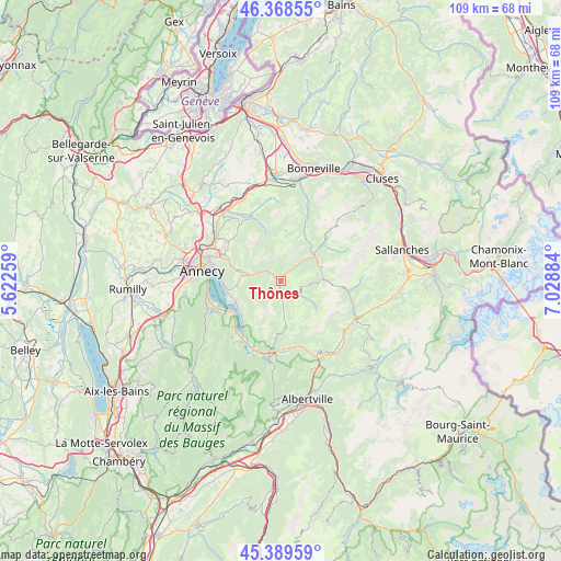
Thônes GPS coordinates[2]
45° 52' 52.428" North, 6° 19' 32.592" East
| Map corner | latitude | longitude |
|---|---|---|
| Upper-left | 46.36855°, | 5.62259° |
| Center: | 45.88123°, | 6.32572° |
| Lower-right: | 45.38959°, | 7.02884° |
| Map W x H: | 108.9×108.8 km | = 67.7×67.6mi |
| max Lat: | 51.07786° ⇑68% North |
| Thônes: | 45.88123° |
| min Lat: | ⇓32% South 41.3874° |
| min Long | Thônes | max Long |
| -5.08615° | 6.32572° | 9.52242° |
| W 90.4%⇐ | ⇒9.6% E |
Elevation
Elevation of Thônes is 627 m = 2057 ft, and this is 433.3 m = 1422 ft above average elevation for this country.
| Max E: |
2333 m = 7654 ft | 4.3% |
| Thônes | 627 m 2057 ft | |
| Avg. | 193.7 m = 635 ft | |
Min E: |
-1 m = -3 ft | 95.7% |
See also: France elevation on elevation.city.
Geographical zone
Thônes is located in North temperate zone (between Tropic of Cancer and the Arctic Circle). Distance of this North polar circle is 2299.7 km =1429 mi to North.| Distance of | km | miles | from Thônes |
|---|---|---|---|
| North Pole | 4905.5 | 3048.1 | to North |
| Arctic Circle | 2299.7 | 1429 | to North |
| Tropic Cancer | 2495.6 | 1550.7 | to South |
| Equator | 5101.5 | 3169.9 | to South |


Nearby cities:
15 places around Thônes: (largest is in red/bold)
• Alex
7 km =4.3 mi,  278°
278°
• Dingy-Saint-Clair
8.3 km =5.2 mi,  290°
290°
• Duingt
11.4 km =7.1 mi,  237°
237°
• Entremont
9.7 km =6 mi,  30°
30°
• La Clusaz
8.9 km =5.5 mi,  71°
71°
• Le Grand-Bornand
10.6 km =6.6 mi,  50°
50°
• Les Clefs
2.3 km =1.4 mi,  173°
173°
• Les Villards-sur-Thônes
5.3 km =3.3 mi, 46°
• Manigod
4.4 km =2.7 mi,  118°
118°
• Menthon-Saint-Bernard
10.4 km =6.5 mi,  256°
256°
• Nâves-Parmelan
12 km =7.5 mi,  300°
300°
• Saint-Jean-de-Sixt
8.1 km =5 mi,  55°
55°
• Serraval
9 km =5.6 mi, 172°
• Talloires
9.8 km =6.1 mi, 242°
• Veyrier-du-Lac
11.5 km =7.1 mi,  270°
270°
Sources, notices
• [Note1] Compared only with cities in France existing in our database
• [Src1] Map data: © OpenStreetMap contributors (CC-BY-SA)
• [Src2] Other city data from geonames.org with taken over terms of usage.
• [Src3] Geographical zone / Annual Mean Temperature by Robert A. Rohde @ Wikipedia
