Seix geodata
Seix (Occitanie) is a populated place; located in France in Europe/Paris (GMT+2) time zone. With population of 748 people, there are 11184 cities with bigger population in this country. Compared to other cities in France, 98.7% of cities are located further ↑North; 66.8% of cities are located further →East and 93.3% of cities have lower elevation than Seix. Note1
Administrative division(s):
- Level 1: Occitanie
- Level 2: Département de l'Ariège
- Level 3: Arrondissement de Saint-Girons
- Level 4: Seix


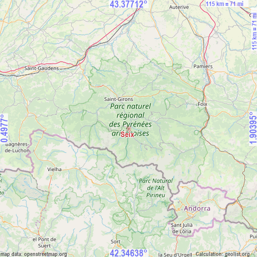
Seix GPS coordinates[2]
42° 51' 50.04" North, 1° 12' 2.952" East
| Map corner | latitude | longitude |
|---|---|---|
| Upper-left | 43.37712°, | 0.4977° |
| Center: | 42.8639°, | 1.20082° |
| Lower-right: | 42.34638°, | 1.90395° |
| Map W x H: | 114.6×114.6 km | = 71.2×71.2mi |
| max Lat: | 51.07786° ⇑98.7% North |
| Seix: | 42.8639° |
| min Lat: | ⇓1.3% South 41.3874° |
| min Long | Seix | max Long |
| -5.08615° | 1.20082° | 9.52242° |
| W 33.2%⇐ | ⇒66.8% E |
Elevation
Elevation of Seix is 515 m = 1690 ft, and this is 321.3 m = 1054 ft above average elevation for this country.
| Max E: |
2333 m = 7654 ft | 6.7% |
| Seix | 515 m 1690 ft | |
| Avg. | 193.7 m = 635 ft | |
Min E: |
-1 m = -3 ft | 93.3% |
See also: France elevation on elevation.city.
Geographical zone
Seix is located in North temperate zone (between Tropic of Cancer and the Arctic Circle). Distance of this Northern Tropic circle is 2160.1 km =1342.2 mi to South.| Distance of | km | miles | from Seix |
|---|---|---|---|
| North Pole | 5241 | 3256.6 | to North |
| Arctic Circle | 2635.2 | 1637.4 | to North |
| Tropic Cancer | 2160.1 | 1342.2 | to South |
| Equator | 4766 | 2961.5 | to South |


Nearby cities:
15 places around Seix: (largest is in red/bold)
• Auzat
25.4 km =15.8 mi,  115°
115°
• Ercé
7.4 km =4.6 mi,  104°
104°
• Eycheil
12 km =7.5 mi,  345°
345°
• La Bastide-de-Sérou
24.8 km =15.4 mi,  48°
48°
• Massat
12.2 km =7.6 mi,  77°
77°
• Montjoie-en-Couserans
15.8 km =9.8 mi, 347°
• Moulis
14.1 km =8.8 mi,  320°
320°
• Oust
1.7 km =1.1 mi,  44°
44°
• Prat-Bonrepaux
24.1 km =15 mi, 321°
• Rimont
16 km =9.9 mi,  24°
24°
• Saint-Girons
14.2 km =8.8 mi,  341°
341°
• Saint-Lizier
16.2 km =10.1 mi, 341°
• Saurat
27.6 km =17.1 mi,  86°
86°
• Serres-sur-Arget
28.2 km =17.5 mi,  65°
65°
• Vicdessos
26.2 km =16.3 mi,  113°
113°
Sources, notices
• [Note1] Compared only with cities in France existing in our database
• [Src1] Map data: © OpenStreetMap contributors (CC-BY-SA)
• [Src2] Other city data from geonames.org with taken over terms of usage.
• [Src3] Geographical zone / Annual Mean Temperature by Robert A. Rohde @ Wikipedia
