Oust geodata
Oust (Occitanie) is a populated place; located in France in Europe/Paris (GMT+2) time zone. With population of 540 people, there are 14387 cities with bigger population in this country. Compared to other cities in France, 98.7% of cities are located further ↑North; 66.6% of cities are located further →East and 93% of cities have lower elevation than Oust. Note1
Administrative division(s):
- Level 1: Occitanie
- Level 2: Département de l'Ariège
- Level 3: Arrondissement de Saint-Girons
- Level 4: Oust


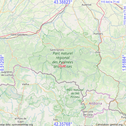
Oust GPS coordinates[2]
42° 52' 30.396" North, 1° 12' 56.592" East
| Map corner | latitude | longitude |
|---|---|---|
| Upper-left | 43.38823°, | 0.51259° |
| Center: | 42.87511°, | 1.21572° |
| Lower-right: | 42.35768°, | 1.91884° |
| Map W x H: | 114.6×114.6 km | = 71.2×71.2mi |
| max Lat: | 51.07786° ⇑98.7% North |
| Oust: | 42.87511° |
| min Lat: | ⇓1.3% South 41.3874° |
| min Long | Oust | max Long |
| -5.08615° | 1.21572° | 9.52242° |
| W 33.4%⇐ | ⇒66.6% E |
Elevation
Elevation of Oust is 503 m = 1650 ft, and this is 309.3 m = 1015 ft above average elevation for this country.
| Max E: |
2333 m = 7654 ft | 7% |
| Oust | 503 m 1650 ft | |
| Avg. | 193.7 m = 635 ft | |
Min E: |
-1 m = -3 ft | 93% |
See also: France elevation on elevation.city.
Geographical zone
Oust is located in North temperate zone (between Tropic of Cancer and the Arctic Circle). Distance of this Northern Tropic circle is 2161.3 km =1343 mi to South.| Distance of | km | miles | from Oust |
|---|---|---|---|
| North Pole | 5239.8 | 3255.9 | to North |
| Arctic Circle | 2633.9 | 1636.6 | to North |
| Tropic Cancer | 2161.3 | 1343 | to South |
| Equator | 4767.3 | 2962.3 | to South |


Nearby cities:
15 places around Oust: (largest is in red/bold)
• Auzat
24.9 km =15.5 mi,  119°
119°
• Ercé
6.7 km =4.2 mi, 117°
• Eycheil
11.2 km =7 mi,  337°
337°
• La Bastide-de-Sérou
23 km =14.3 mi,  48°
48°
• Massat
10.8 km =6.7 mi,  82°
82°
• Montjoie-en-Couserans
14.9 km =9.3 mi, 342°
• Moulis
14 km =8.7 mi,  313°
313°
• Prat-Bonrepaux
23.9 km =14.9 mi,  317°
317°
• Rimont
14.4 km =8.9 mi,  22°
22°
• Saint-Girons
13.5 km =8.4 mi, 335°
• Saint-Lizier
15.5 km =9.6 mi, 335°
• Saurat
26.3 km =16.3 mi,  89°
89°
• Seix
1.7 km =1.1 mi,  224°
224°
• Serres-sur-Arget
26.6 km =16.5 mi,  66°
66°
• Vicdessos
25.7 km =16 mi, 117°
Sources, notices
• [Note1] Compared only with cities in France existing in our database
• [Src1] Map data: © OpenStreetMap contributors (CC-BY-SA)
• [Src2] Other city data from geonames.org with taken over terms of usage.
• [Src3] Geographical zone / Annual Mean Temperature by Robert A. Rohde @ Wikipedia
