Puylaroque geodata
Puylaroque (Occitanie) is a populated place; located in France in Europe/Paris (GMT+2) time zone. With population of 615 people, there are 13071 cities with bigger population in this country. Compared to other cities in France, 85.1% of cities are located further ↑North; 61.6% of cities are located further →East and 78.8% of cities have lower elevation than Puylaroque. Note1
Administrative division(s):
- Level 1: Occitanie
- Level 2: Département du Tarn-et-Garonne
- Level 3: Arrondissement de Montauban
- Level 4: Puylaroque


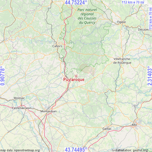
Puylaroque GPS coordinates[2]
44° 15' 2.7" North, 1° 36' 39.24" East
| Map corner | latitude | longitude |
|---|---|---|
| Upper-left | 44.75224°, | 0.90778° |
| Center: | 44.25075°, | 1.6109° |
| Lower-right: | 43.74495°, | 2.31403° |
| Map W x H: | 112×112 km | = 69.6×69.6mi |
| max Lat: | 51.07786° ⇑85.1% North |
| Puylaroque: | 44.25075° |
| min Lat: | ⇓14.9% South 41.3874° |
| min Long | Puylaroque | max Long |
| -5.08615° | 1.6109° | 9.52242° |
| W 38.4%⇐ | ⇒61.6% E |
Elevation
Elevation of Puylaroque is 279 m = 915 ft, and this is 85.3 m = 280 ft above average elevation for this country.
| Max E: |
2333 m = 7654 ft | 21.2% |
| Puylaroque | 279 m 915 ft | |
| Avg. | 193.7 m = 635 ft | |
Min E: |
-1 m = -3 ft | 78.8% |
See also: France elevation on elevation.city.
Geographical zone
Puylaroque is located in North temperate zone (between Tropic of Cancer and the Arctic Circle). Distance of this Northern Tropic circle is 2314.3 km =1438 mi to South.| Distance of | km | miles | from Puylaroque |
|---|---|---|---|
| North Pole | 5086.8 | 3160.8 | to North |
| Arctic Circle | 2481 | 1541.6 | to North |
| Tropic Cancer | 2314.3 | 1438 | to South |
| Equator | 4920.2 | 3057.3 | to South |


Nearby cities:
15 places around Puylaroque: (largest is in red/bold)
• Belfort-du-Quercy
5.7 km =3.5 mi,  290°
290°
• Bioule
18.8 km =11.7 mi,  197°
197°
• Castelnau-Montratier
19.5 km =12.1 mi,  275°
275°
• Caussade
11.5 km =7.1 mi,  209°
209°
• Caylus
12.9 km =8 mi,  97°
97°
• Flaujac-Poujols
19.3 km =12 mi,  332°
332°
• Lalbenque
11.2 km =7 mi, 331°
• Le Montat
19.3 km =12 mi,  318°
318°
• Mirabel
19.3 km =12 mi,  231°
231°
• Montalzat
10 km =6.2 mi,  241°
241°
• Monteils
9.5 km =5.9 mi, 196°
• Montpezat-de-Quercy
10.8 km =6.7 mi,  262°
262°
• Montricoux
19.5 km =12.1 mi,  177°
177°
• Réalville
18.4 km =11.4 mi, 214°
• Septfonds
8.1 km =5 mi, 175°
Sources, notices
• [Note1] Compared only with cities in France existing in our database
• [Src1] Map data: © OpenStreetMap contributors (CC-BY-SA)
• [Src2] Other city data from geonames.org with taken over terms of usage.
• [Src3] Geographical zone / Annual Mean Temperature by Robert A. Rohde @ Wikipedia
