Piseux geodata
Piseux (Normandy) is a populated place; located in France in Europe/Paris (GMT+2) time zone. With population of 640 people, there are 12673 cities with bigger population in this country. Compared to other cities in France, 74.9% of cities are located further ↓South; 69% of cities are located further →East and 62.1% of cities have lower elevation than Piseux. Note1
Administrative division(s):
- Level 1: Normandy
- Level 2: Département de l'Eure
- Level 3: Arrondissement de Bernay
- Level 4: Piseux


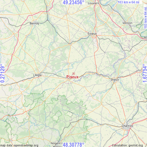
Piseux GPS coordinates[2]
48° 46' 23.916" North, 0° 58' 27.876" East
| Map corner | latitude | longitude |
|---|---|---|
| Upper-left | 49.23456°, | 0.27129° |
| Center: | 48.77331°, | 0.97441° |
| Lower-right: | 48.30778°, | 1.67754° |
| Map W x H: | 103×103 km | = 64×64mi |
| max Lat: | 51.07786° ⇑25.1% North |
| Piseux: | 48.77331° |
| min Lat: | ⇓74.9% South 41.3874° |
| min Long | Piseux | max Long |
| -5.08615° | 0.97441° | 9.52242° |
| W 31%⇐ | ⇒69% E |
Elevation
Elevation of Piseux is 180 m = 591 ft, and this is 13.7 m = 45 ft below average elevation for this country.
| Max E: |
2333 m = 7654 ft | 37.9% |
| Avg. | 193.7 m = 635 ft | |
| Piseux | 180 m = 591 ft | |
Min E: |
-1 m = -3 ft | 62.1% |
See also: France elevation on elevation.city.
Geographical zone
Piseux is located in North temperate zone (between Tropic of Cancer and the Arctic Circle). Distance of this North polar circle is 1978.1 km =1229.1 mi to North.| Distance of | km | miles | from Piseux |
|---|---|---|---|
| North Pole | 4584 | 2848.4 | to North |
| Arctic Circle | 1978.1 | 1229.1 | to North |
| Tropic Cancer | 2817.2 | 1750.5 | to South |
| Equator | 5423.1 | 3369.8 | to South |


Nearby cities:
15 places around Piseux: (largest is in red/bold)
• Boissy-lès-Perche
11.6 km =7.2 mi,  212°
212°
• Bourth
12.1 km =7.5 mi,  267°
267°
• Breteuil
7.9 km =4.9 mi,  327°
327°
• Brezolles
11.8 km =7.3 mi,  141°
141°
• Dampierre-sur-Avre
12.9 km =8 mi,  95°
95°
• Damville
12.9 km =8 mi,  34°
34°
• Francheville
9.3 km =5.8 mi,  279°
279°
• Gouville
8.7 km =5.4 mi,  8°
8°
• La Guéroulde
7.7 km =4.8 mi,  305°
305°
• La Madeleine-de-Nonancourt
16.7 km =10.4 mi,  90°
90°
• Laons
16.7 km =10.4 mi,  117°
117°
• Les Baux-de-Breteuil
16.8 km =10.4 mi, 314°
• Nonancourt
16.4 km =10.2 mi, 90°
• Tillières-sur-Avre
6.1 km =3.8 mi,  108°
108°
• Verneuil-sur-Avre
5.1 km =3.2 mi,  222°
222°
Sources, notices
• [Note1] Compared only with cities in France existing in our database
• [Src1] Map data: © OpenStreetMap contributors (CC-BY-SA)
• [Src2] Other city data from geonames.org with taken over terms of usage.
• [Src3] Geographical zone / Annual Mean Temperature by Robert A. Rohde @ Wikipedia
