Penne geodata
Penne (Occitanie) is a populated place; located in France in Europe/Paris (GMT+2) time zone. With population of 547 people, there are 14264 cities with bigger population in this country. Compared to other cities in France, 86.4% of cities are located further ↑North; 60.1% of cities are located further →East and 57.1% of cities have lower elevation than Penne. Note1


Penne GPS coordinates[2]
44° 4' 37.092" North, 1° 43' 50.916" East
| Map corner | latitude | longitude |
|---|---|---|
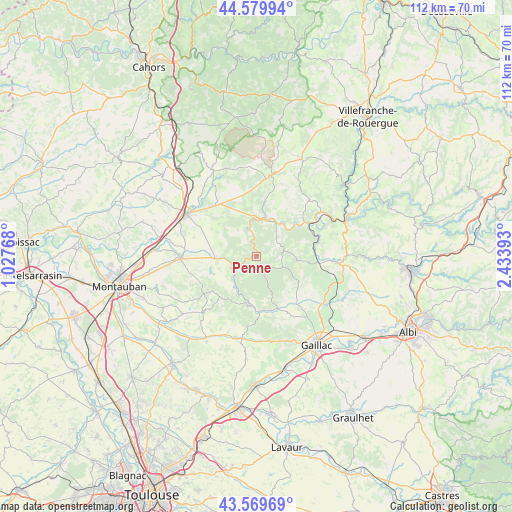
| Upper-left | 44.57994°, | 1.02768° |
| Center: | 44.07697°, | 1.73081° |
| Lower-right: | 43.56969°, | 2.43393° |
| Map W x H: | 112.3×112.3 km | = 69.8×69.8mi |
| max Lat: | 51.07786° ⇑86.4% North |
| Penne: | 44.07697° |
| min Lat: | ⇓13.6% South 41.3874° |
| min Long | Penne | max Long |
| -5.08615° | 1.73081° | 9.52242° |
| W 39.9%⇐ | ⇒60.1% E |
Elevation
Elevation of Penne is 158 m = 518 ft, and this is 35.7 m = 117 ft below average elevation for this country.
| Max E: |
2333 m = 7654 ft | 42.9% |
| Avg. | 193.7 m = 635 ft | |
| Penne | 158 m = 518 ft | |
Min E: |
-1 m = -3 ft | 57.1% |
See also: France elevation on elevation.city.
Geographical zone
Penne is located in North temperate zone (between Tropic of Cancer and the Arctic Circle). Distance of this Northern Tropic circle is 2295 km =1426 mi to South.| Distance of | km | miles | from Penne |
|---|---|---|---|
| North Pole | 5106.2 | 3172.8 | to North |
| Arctic Circle | 2500.3 | 1553.6 | to North |
| Tropic Cancer | 2295 | 1426 | to South |
| Equator | 4900.9 | 3045.3 | to South |


Nearby cities:
15 places around Penne: (largest is in red/bold)
• Bioule
15.4 km =9.6 mi,  275°
275°
• Bruniquel
5.9 km =3.7 mi,  245°
245°
• Cahuzac-sur-Vère
17.8 km =11.1 mi,  126°
126°
• Castelnau-de-Montmiral
14.3 km =8.9 mi,  150°
150°
• Caussade
17.9 km =11.1 mi,  301°
301°
• Caylus
18 km =11.2 mi,  10°
10°
• Cordes-sur-Ciel
17.5 km =10.9 mi,  93°
93°
• Monclar-de-Quercy
17 km =10.6 mi,  223°
223°
• Monteils
16 km =9.9 mi,  309°
309°
• Montricoux
8.9 km =5.5 mi,  269°
269°
• Nègrepelisse
16.9 km =10.5 mi, 269°
• Salvagnac
19.3 km =12 mi,  190°
190°
• Septfonds
14.4 km =8.9 mi,  321°
321°
• Varen
15.9 km =9.9 mi,  55°
55°
• Vaïssac
14 km =8.7 mi, 249°
Sources, notices
• [Note1] Compared only with cities in France existing in our database
• [Src1] Map data: © OpenStreetMap contributors (CC-BY-SA)
• [Src2] Other city data from geonames.org with taken over terms of usage.
• [Src3] Geographical zone / Annual Mean Temperature by Robert A. Rohde @ Wikipedia
