Mesnil-Panneville geodata
Mesnil-Panneville (Normandy) is a populated place; located in France in Europe/Paris (GMT+2) time zone. With population of 531 people, there are 14589 cities with bigger population in this country. Compared to other cities in France, 90.4% of cities are located further ↓South; 69.8% of cities are located further →East and 52.6% of cities have higher elevation than Mesnil-Panneville. Note1
Administrative division(s):
- Level 1: Normandy
- Level 2: Seine-Maritime
- Level 3: Arrondissement de Rouen
- Level 4: Mesnil-Panneville


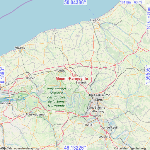
Mesnil-Panneville GPS coordinates[2]
49° 35' 24.684" North, 0° 53' 32.748" East
| Map corner | latitude | longitude |
|---|---|---|
| Upper-left | 50.04386°, | 0.1893° |
| Center: | 49.59019°, | 0.89243° |
| Lower-right: | 49.13226°, | 1.59555° |
| Map W x H: | 101.4×101.4 km | = 63×63mi |
| max Lat: | 51.07786° ⇑9.6% North |
| Mesnil-Panneville: | 49.59019° |
| min Lat: | ⇓90.4% South 41.3874° |
| min Long | Mesnil-Pannevil | max Long |
| -5.08615° | 0.89243° | 9.52242° |
| W 30.2%⇐ | ⇒69.8% E |
Elevation
Elevation of Mesnil-Panneville is 123 m = 404 ft, and this is 70.7 m = 232 ft below average elevation for this country.
| Max E: |
2333 m = 7654 ft | 52.6% |
| Avg. | 193.7 m = 635 ft | |
| Mesnil-Panneville | 123 m = 404 ft | |
Min E: |
-1 m = -3 ft | 47.4% |
See also: France elevation on elevation.city.
Geographical zone
Mesnil-Panneville is located in North temperate zone (between Tropic of Cancer and the Arctic Circle). Distance of this North polar circle is 1887.3 km =1172.7 mi to North.| Distance of | km | miles | from Mesnil-Panneville |
|---|---|---|---|
| North Pole | 4493.1 | 2791.9 | to North |
| Arctic Circle | 1887.3 | 1172.7 | to North |
| Tropic Cancer | 2908 | 1806.9 | to South |
| Equator | 5513.9 | 3426.2 | to South |


Nearby cities:
15 places around Mesnil-Panneville: (largest is in red/bold)
• Barentin
6.7 km =4.2 mi,  137°
137°
• Blacqueville
3.6 km =2.2 mi,  210°
210°
• Bouville
3.1 km =1.9 mi,  176°
176°
• Croix-Mare
3 km =1.9 mi,  289°
289°
• Limésy
3.4 km =2.1 mi,  42°
42°
• Motteville
5.7 km =3.5 mi,  329°
329°
• Pavilly
5.2 km =3.2 mi,  119°
119°
• Saint-Clair-sur-les-Monts
7.7 km =4.8 mi,  284°
284°
• Saint-Paër
8.5 km =5.3 mi,  186°
186°
• Sainte-Austreberthe
6 km =3.7 mi,  82°
82°
• Sainte-Marie-des-Champs
8.9 km =5.5 mi, 292°
• Villers-Écalles
5.8 km =3.6 mi,  160°
160°
• Yerville
8.6 km =5.3 mi,  1°
1°
• Écalles-Alix
5.8 km =3.6 mi,  301°
301°
• Émanville
6 km =3.7 mi,  53°
53°
Sources, notices
• [Note1] Compared only with cities in France existing in our database
• [Src1] Map data: © OpenStreetMap contributors (CC-BY-SA)
• [Src2] Other city data from geonames.org with taken over terms of usage.
• [Src3] Geographical zone / Annual Mean Temperature by Robert A. Rohde @ Wikipedia
