Hombourg geodata
Hombourg (Grand Est) is a populated place; located in France in Europe/Paris (GMT+2) time zone. With population of 513 people, there are 14965 cities with bigger population in this country. Compared to other cities in France, 86% of cities are located further ↓South; 90.6% of cities are located further ←West and 68.1% of cities have lower elevation than Hombourg. Note1
Administrative division(s):
- Level 1: Grand Est
- Level 2: Moselle
- Level 3: Arrondissement de Thionville
- Level 4: Hombourg-Budange


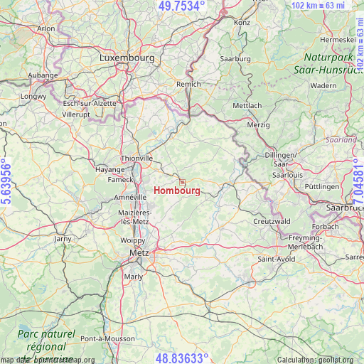
Hombourg GPS coordinates[2]
49° 17' 49.2" North, 6° 20' 33.648" East
| Map corner | latitude | longitude |
|---|---|---|
| Upper-left | 49.7534°, | 5.63956° |
| Center: | 49.297°, | 6.34268° |
| Lower-right: | 48.83633°, | 7.04581° |
| Map W x H: | 102×102 km | = 63.4×63.4mi |
| max Lat: | 51.07786° ⇑14% North |
| Hombourg: | 49.297° |
| min Lat: | ⇓86% South 41.3874° |
| min Long | Hombourg | max Long |
| -5.08615° | 6.34268° | 9.52242° |
| W 90.6%⇐ | ⇒9.4% E |
Elevation
Elevation of Hombourg is 210 m = 689 ft, and this is 16.3 m = 53 ft above average elevation for this country.
| Max E: |
2333 m = 7654 ft | 31.9% |
| Hombourg | 210 m 689 ft | |
| Avg. | 193.7 m = 635 ft | |
Min E: |
-1 m = -3 ft | 68.1% |
See also: France elevation on elevation.city.
Geographical zone
Hombourg is located in North temperate zone (between Tropic of Cancer and the Arctic Circle). Distance of this North polar circle is 1919.9 km =1193 mi to North.| Distance of | km | miles | from Hombourg |
|---|---|---|---|
| North Pole | 4525.7 | 2812.1 | to North |
| Arctic Circle | 1919.9 | 1193 | to North |
| Tropic Cancer | 2875.4 | 1786.7 | to South |
| Equator | 5481.3 | 3405.9 | to South |


Nearby cities:
15 places around Hombourg: (largest is in red/bold)
• Bettelainville
7.5 km =4.7 mi,  204°
204°
• Distroff
6.8 km =4.2 mi,  305°
305°
• Elzange
8.3 km =5.2 mi,  330°
330°
• Kuntzig
9.5 km =5.9 mi, 306°
• Kédange-sur-Canner
1.4 km =0.9 mi,  345°
345°
• Luttange
3.7 km =2.3 mi,  218°
218°
• Metzeresche
2.6 km =1.6 mi,  273°
273°
• Metzervisse
4.8 km =3 mi,  294°
294°
• Oudrenne
9.2 km =5.7 mi, 353°
• Piblange
7.3 km =4.5 mi,  133°
133°
• Rurange-lès-Thionville
8.4 km =5.2 mi,  253°
253°
• Stuckange
8.3 km =5.2 mi, 293°
• Veckring
5.2 km =3.2 mi,  28°
28°
• Volstroff
6.2 km =3.9 mi,  284°
284°
• Ébersviller
4.9 km =3 mi,  119°
119°
Sources, notices
• [Note1] Compared only with cities in France existing in our database
• [Src1] Map data: © OpenStreetMap contributors (CC-BY-SA)
• [Src2] Other city data from geonames.org with taken over terms of usage.
• [Src3] Geographical zone / Annual Mean Temperature by Robert A. Rohde @ Wikipedia
