Hirtzfelden geodata
Hirtzfelden (Grand Est) is a populated place; located in France in Europe/Paris (GMT+2) time zone. With population of 1,030 people, there are 8614 cities with bigger population in this country. Compared to other cities in France, 57.8% of cities are located further ↓South; 97.6% of cities are located further ←West and 67.8% of cities have lower elevation than Hirtzfelden. Note1
Administrative division(s):
- Level 1: Grand Est
- Level 2: Haut-Rhin
- Level 3: Arrondissement de Colmar-Ribeauvillé
- Level 4: Hirtzfelden


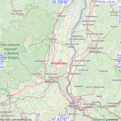
Hirtzfelden GPS coordinates[2]
47° 54' 40.716" North, 7° 26' 45.96" East
| Map corner | latitude | longitude |
|---|---|---|
| Upper-left | 48.38046°, | 6.74298° |
| Center: | 47.91131°, | 7.4461° |
| Lower-right: | 47.43787°, | 8.14923° |
| Map W x H: | 104.8×104.8 km | = 65.1×65.1mi |
| max Lat: | 51.07786° ⇑42.2% North |
| Hirtzfelden: | 47.91131° |
| min Lat: | ⇓57.8% South 41.3874° |
| min Long | Hirtzfelden | max Long |
| -5.08615° | 7.4461° | 9.52242° |
| W 97.6%⇐ | ⇒2.4% E |
Elevation
Elevation of Hirtzfelden is 208 m = 682 ft, and this is 14.3 m = 47 ft above average elevation for this country.
| Max E: |
2333 m = 7654 ft | 32.2% |
| Hirtzfelden | 208 m 682 ft | |
| Avg. | 193.7 m = 635 ft | |
Min E: |
-1 m = -3 ft | 67.8% |
See also: France elevation on elevation.city.
Geographical zone
Hirtzfelden is located in North temperate zone (between Tropic of Cancer and the Arctic Circle). Distance of this North polar circle is 2073.9 km =1288.7 mi to North.| Distance of | km | miles | from Hirtzfelden |
|---|---|---|---|
| North Pole | 4679.8 | 2907.9 | to North |
| Arctic Circle | 2073.9 | 1288.7 | to North |
| Tropic Cancer | 2721.3 | 1690.9 | to South |
| Equator | 5327.2 | 3310.2 | to South |


Nearby cities:
15 places around Hirtzfelden: (largest is in red/bold)
• Balgau
7.2 km =4.5 mi,  74°
74°
• Bantzenheim
10.9 km =6.8 mi,  152°
152°
• Blodelsheim
7.3 km =4.5 mi,  113°
113°
• Dessenheim
8 km =5 mi,  23°
23°
• Ensisheim
8.7 km =5.4 mi,  234°
234°
• Fessenheim
6.6 km =4.1 mi,  85°
85°
• Heiteren
9.6 km =6 mi,  46°
46°
• Meyenheim
6.7 km =4.2 mi,  272°
272°
• Munchhouse
4.7 km =2.9 mi,  174°
174°
• Niederhergheim
9 km =5.6 mi,  336°
336°
• Oberentzen
6.3 km =3.9 mi,  304°
304°
• Oberhergheim
7.2 km =4.5 mi,  328°
328°
• Rumersheim-le-Haut
8.7 km =5.4 mi,  140°
140°
• Rustenhart
3.5 km =2.2 mi, 18°
• Réguisheim
7.2 km =4.5 mi,  255°
255°
Sources, notices
• [Note1] Compared only with cities in France existing in our database
• [Src1] Map data: © OpenStreetMap contributors (CC-BY-SA)
• [Src2] Other city data from geonames.org with taken over terms of usage.
• [Src3] Geographical zone / Annual Mean Temperature by Robert A. Rohde @ Wikipedia
