Munchhouse geodata
Munchhouse (Grand Est) is a populated place; located in France in Europe/Paris (GMT+2) time zone. With population of 1,490 people, there are 6229 cities with bigger population in this country. Compared to other cities in France, 57% of cities are located further ↓South; 97.6% of cities are located further ←West and 69.6% of cities have lower elevation than Munchhouse. Note1
Administrative division(s):
- Level 1: Grand Est
- Level 2: Haut-Rhin
- Level 3: Arrondissement de Colmar-Ribeauvillé
- Level 4: Munchhouse


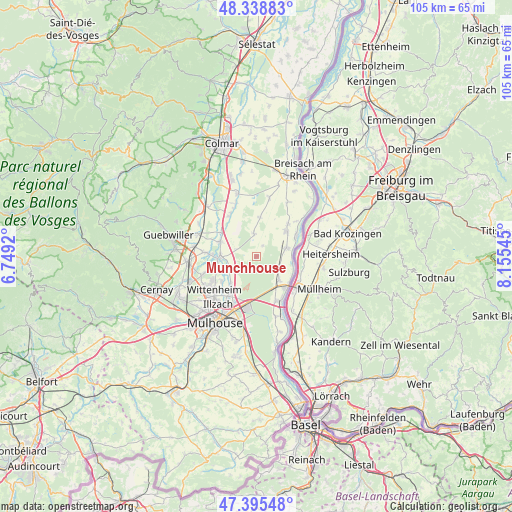
Munchhouse GPS coordinates[2]
47° 52' 9.48" North, 7° 27' 8.388" East
| Map corner | latitude | longitude |
|---|---|---|
| Upper-left | 48.33883°, | 6.7492° |
| Center: | 47.8693°, | 7.45233° |
| Lower-right: | 47.39548°, | 8.15545° |
| Map W x H: | 104.9×104.9 km | = 65.2×65.2mi |
| max Lat: | 51.07786° ⇑43% North |
| Munchhouse: | 47.8693° |
| min Lat: | ⇓57% South 41.3874° |
| min Long | Munchhouse | max Long |
| -5.08615° | 7.45233° | 9.52242° |
| W 97.6%⇐ | ⇒2.4% E |
Elevation
Elevation of Munchhouse is 217 m = 712 ft, and this is 23.3 m = 76 ft above average elevation for this country.
| Max E: |
2333 m = 7654 ft | 30.4% |
| Munchhouse | 217 m 712 ft | |
| Avg. | 193.7 m = 635 ft | |
Min E: |
-1 m = -3 ft | 69.6% |
See also: France elevation on elevation.city.
Geographical zone
Munchhouse is located in North temperate zone (between Tropic of Cancer and the Arctic Circle). Distance of this North polar circle is 2078.6 km =1291.6 mi to North.| Distance of | km | miles | from Munchhouse |
|---|---|---|---|
| North Pole | 4684.5 | 2910.8 | to North |
| Arctic Circle | 2078.6 | 1291.6 | to North |
| Tropic Cancer | 2716.6 | 1688 | to South |
| Equator | 5322.6 | 3307.3 | to South |


Nearby cities:
15 places around Munchhouse: (largest is in red/bold)
• Baldersheim
9.3 km =5.8 mi,  215°
215°
• Balgau
9.2 km =5.7 mi,  44°
44°
• Bantzenheim
6.8 km =4.2 mi,  137°
137°
• Battenheim
7.6 km =4.7 mi, 223°
• Blodelsheim
6.5 km =4 mi,  74°
74°
• Chalampé
8.6 km =5.3 mi,  129°
129°
• Ensisheim
7.6 km =4.7 mi,  267°
267°
• Fessenheim
8 km =5 mi,  50°
50°
• Hirtzfelden
4.7 km =2.9 mi,  354°
354°
• Meyenheim
8.7 km =5.4 mi,  304°
304°
• Ottmarsheim
9.9 km =6.2 mi,  155°
155°
• Ruelisheim
8.7 km =5.4 mi,  234°
234°
• Rumersheim-le-Haut
5.5 km =3.4 mi,  111°
111°
• Rustenhart
8 km =5 mi,  4°
4°
• Réguisheim
8 km =5 mi,  291°
291°
Sources, notices
• [Note1] Compared only with cities in France existing in our database
• [Src1] Map data: © OpenStreetMap contributors (CC-BY-SA)
• [Src2] Other city data from geonames.org with taken over terms of usage.
• [Src3] Geographical zone / Annual Mean Temperature by Robert A. Rohde @ Wikipedia
