Heimsbrunn geodata
Heimsbrunn (Grand Est) is a populated place; located in France in Europe/Paris (GMT+2) time zone. With population of 1,284 people, there are 7106 cities with bigger population in this country. Compared to other cities in France, 54.7% of cities are located further ↓South; 96% of cities are located further ←West and 78.9% of cities have lower elevation than Heimsbrunn. Note1
Administrative division(s):
- Level 1: Grand Est
- Level 2: Haut-Rhin
- Level 3: Arrondissement de Mulhouse
- Level 4: Heimsbrunn


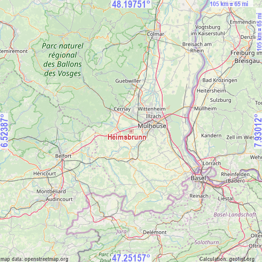
Heimsbrunn GPS coordinates[2]
47° 43' 36.084" North, 7° 13' 37.164" East
| Map corner | latitude | longitude |
|---|---|---|
| Upper-left | 48.19751°, | 6.52387° |
| Center: | 47.72669°, | 7.22699° |
| Lower-right: | 47.25157°, | 7.93012° |
| Map W x H: | 105.2×105.2 km | = 65.4×65.4mi |
| max Lat: | 51.07786° ⇑45.3% North |
| Heimsbrunn: | 47.72669° |
| min Lat: | ⇓54.7% South 41.3874° |
| min Long | Heimsbrunn | max Long |
| -5.08615° | 7.22699° | 9.52242° |
| W 96%⇐ | ⇒4% E |
Elevation
Elevation of Heimsbrunn is 280 m = 919 ft, and this is 86.3 m = 283 ft above average elevation for this country.
| Max E: |
2333 m = 7654 ft | 21.1% |
| Heimsbrunn | 280 m 919 ft | |
| Avg. | 193.7 m = 635 ft | |
Min E: |
-1 m = -3 ft | 78.9% |
See also: France elevation on elevation.city.
Geographical zone
Heimsbrunn is located in North temperate zone (between Tropic of Cancer and the Arctic Circle). Distance of this North polar circle is 2094.5 km =1301.5 mi to North.| Distance of | km | miles | from Heimsbrunn |
|---|---|---|---|
| North Pole | 4700.4 | 2920.7 | to North |
| Arctic Circle | 2094.5 | 1301.5 | to North |
| Tropic Cancer | 2700.8 | 1678.2 | to South |
| Equator | 5306.7 | 3297.4 | to South |


Nearby cities:
15 places around Heimsbrunn: (largest is in red/bold)
• Bernwiller
4.9 km =3 mi,  215°
215°
• Burnhaupt-le-Bas
5 km =3.1 mi,  258°
258°
• Burnhaupt-le-Haut
6.2 km =3.9 mi,  275°
275°
• Didenheim
5.6 km =3.5 mi,  99°
99°
• Frœningen
5.7 km =3.5 mi,  148°
148°
• Galfingue
2.3 km =1.4 mi,  185°
185°
• Hochstatt
4.5 km =2.8 mi,  124°
124°
• Illfurth
6.5 km =4 mi, 153°
• Lutterbach
5.4 km =3.4 mi,  47°
47°
• Morschwiller-le-Bas
3.4 km =2.1 mi,  71°
71°
• Reiningue
2.9 km =1.8 mi,  9°
9°
• Schweighouse-Thann
5.4 km =3.4 mi,  302°
302°
• Spechbach-le-Bas
6.3 km =3.9 mi,  179°
179°
• Spechbach-le-Haut
5 km =3.1 mi, 189°
• Zillisheim
6.3 km =3.9 mi, 122°
Sources, notices
• [Note1] Compared only with cities in France existing in our database
• [Src1] Map data: © OpenStreetMap contributors (CC-BY-SA)
• [Src2] Other city data from geonames.org with taken over terms of usage.
• [Src3] Geographical zone / Annual Mean Temperature by Robert A. Rohde @ Wikipedia
