Goussonville geodata
Goussonville (Île-de-France) is a populated place; located in France in Europe/Paris (GMT+2) time zone. With population of 593 people, there are 13441 cities with bigger population in this country. Compared to other cities in France, 78% of cities are located further ↓South; 59.8% of cities are located further →East and 62% of cities have higher elevation than Goussonville. Note1
Administrative division(s):
- Level 1: Île-de-France
- Level 2: Yvelines
- Level 3: Arrondissement de Mantes-la-Jolie
- Level 4: Goussonville


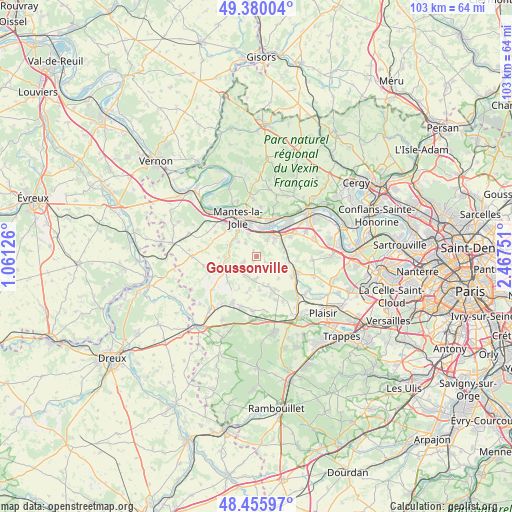
Goussonville GPS coordinates[2]
48° 55' 12.504" North, 1° 45' 51.804" East
| Map corner | latitude | longitude |
|---|---|---|
| Upper-left | 49.38004°, | 1.06126° |
| Center: | 48.92014°, | 1.76439° |
| Lower-right: | 48.45597°, | 2.46751° |
| Map W x H: | 102.7×102.7 km | = 63.8×63.8mi |
| max Lat: | 51.07786° ⇑22% North |
| Goussonville: | 48.92014° |
| min Lat: | ⇓78% South 41.3874° |
| min Long | Goussonville | max Long |
| -5.08615° | 1.76439° | 9.52242° |
| W 40.2%⇐ | ⇒59.8% E |
Elevation
Elevation of Goussonville is 97 m = 318 ft, and this is 96.7 m = 317 ft below average elevation for this country.
| Max E: |
2333 m = 7654 ft | 62% |
| Avg. | 193.7 m = 635 ft | |
| Goussonville | 97 m = 318 ft | |
Min E: |
-1 m = -3 ft | 38% |
See also: France elevation on elevation.city.
Geographical zone
Goussonville is located in North temperate zone (between Tropic of Cancer and the Arctic Circle). Distance of this North polar circle is 1961.8 km =1219 mi to North.| Distance of | km | miles | from Goussonville |
|---|---|---|---|
| North Pole | 4567.7 | 2838.2 | to North |
| Arctic Circle | 1961.8 | 1219 | to North |
| Tropic Cancer | 2833.5 | 1760.7 | to South |
| Equator | 5439.4 | 3379.9 | to South |


Nearby cities:
15 places around Goussonville: (largest is in red/bold)
• Arnouville-lès-Mantes
2.7 km =1.7 mi,  245°
245°
• Auffreville-Brasseuil
5.5 km =3.4 mi,  313°
313°
• Aulnay-sur-Mauldre
5.7 km =3.5 mi,  79°
79°
• Breuil-Bois-Robert
4.5 km =2.8 mi, 309°
• Guerville
3.4 km =2.1 mi,  320°
320°
• Jumeauville
2 km =1.2 mi,  121°
121°
• La Falaise
5.5 km =3.4 mi,  61°
61°
• Maule
6.5 km =4 mi,  99°
99°
• Mézières-sur-Seine
5 km =3.1 mi,  24°
24°
• Nézel
6.1 km =3.8 mi, 63°
• Porcheville
5.9 km =3.7 mi,  10°
10°
• Thoiry
6.4 km =4 mi,  157°
157°
• Vert
5.8 km =3.6 mi,  295°
295°
• Villette
5.3 km =3.3 mi,  279°
279°
• Épône
5.7 km =3.5 mi,  47°
47°
Sources, notices
• [Note1] Compared only with cities in France existing in our database
• [Src1] Map data: © OpenStreetMap contributors (CC-BY-SA)
• [Src2] Other city data from geonames.org with taken over terms of usage.
• [Src3] Geographical zone / Annual Mean Temperature by Robert A. Rohde @ Wikipedia
