Ernestviller geodata
Ernestviller (Grand Est) is a populated place; located in France in Europe/Paris (GMT+2) time zone. With population of 533 people, there are 14546 cities with bigger population in this country. Compared to other cities in France, 81.3% of cities are located further ↓South; 94.6% of cities are located further ←West and 75.8% of cities have lower elevation than Ernestviller. Note1
Administrative division(s):
- Level 1: Grand Est
- Level 2: Moselle
- Level 3: Arrondissement de Sarreguemines
- Level 4: Ernestviller


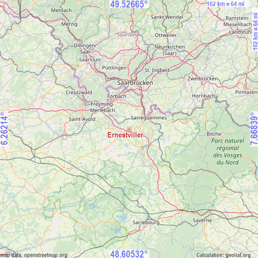
Ernestviller GPS coordinates[2]
49° 4' 5.232" North, 6° 57' 54.936" East
| Map corner | latitude | longitude |
|---|---|---|
| Upper-left | 49.52665°, | 6.26214° |
| Center: | 49.06812°, | 6.96526° |
| Lower-right: | 48.60532°, | 7.66839° |
| Map W x H: | 102.4×102.4 km | = 63.6×63.6mi |
| max Lat: | 51.07786° ⇑18.7% North |
| Ernestviller: | 49.06812° |
| min Lat: | ⇓81.3% South 41.3874° |
| min Long | Ernestviller | max Long |
| -5.08615° | 6.96526° | 9.52242° |
| W 94.6%⇐ | ⇒5.4% E |
Elevation
Elevation of Ernestviller is 255 m = 837 ft, and this is 61.3 m = 201 ft above average elevation for this country.
| Max E: |
2333 m = 7654 ft | 24.2% |
| Ernestviller | 255 m 837 ft | |
| Avg. | 193.7 m = 635 ft | |
Min E: |
-1 m = -3 ft | 75.8% |
See also: France elevation on elevation.city.
Geographical zone
Ernestviller is located in North temperate zone (between Tropic of Cancer and the Arctic Circle). Distance of this North polar circle is 1945.3 km =1208.8 mi to North.| Distance of | km | miles | from Ernestviller |
|---|---|---|---|
| North Pole | 4551.2 | 2828 | to North |
| Arctic Circle | 1945.3 | 1208.8 | to North |
| Tropic Cancer | 2849.9 | 1770.8 | to South |
| Equator | 5455.9 | 3390.1 | to South |


Nearby cities:
15 places around Ernestviller: (largest is in red/bold)
• Diebling
5 km =3.1 mi,  338°
338°
• Farschviller
5.9 km =3.7 mi,  299°
299°
• Grundviller
2.7 km =1.7 mi,  168°
168°
• Hambach
5.2 km =3.2 mi,  100°
100°
• Hilsprich
7.1 km =4.4 mi,  211°
211°
• Holving
6.3 km =3.9 mi,  179°
179°
• Hundling
4.6 km =2.9 mi,  13°
13°
• Ippling
5.1 km =3.2 mi,  34°
34°
• Loupershouse
3.9 km =2.4 mi,  290°
290°
• Metzing
4.2 km =2.6 mi,  352°
352°
• Nousseviller-Saint-Nabor
5.9 km =3.7 mi,  2°
2°
• Rémering-lès-Puttelange
4.1 km =2.5 mi, 209°
• Tenteling
6.7 km =4.2 mi, 342°
• Willerwald
7.1 km =4.4 mi,  132°
132°
• Woustviller
3 km =1.9 mi,  72°
72°
Sources, notices
• [Note1] Compared only with cities in France existing in our database
• [Src1] Map data: © OpenStreetMap contributors (CC-BY-SA)
• [Src2] Other city data from geonames.org with taken over terms of usage.
• [Src3] Geographical zone / Annual Mean Temperature by Robert A. Rohde @ Wikipedia
