Coublanc geodata
Coublanc (Bourgogne-Franche-Comté) is a populated place; located in France in Europe/Paris (GMT+2) time zone. With population of 907 people, there are 9598 cities with bigger population in this country. Compared to other cities in France, 63.9% of cities are located further ↑North; 70.3% of cities are located further ←West and 87.6% of cities have lower elevation than Coublanc. Note1
Administrative division(s):
- Level 1: Bourgogne-Franche-Comté
- Level 2: Département de Saône-et-Loire
- Level 3: Arrondissement de Charolles
- Level 4: Coublanc


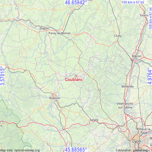
Coublanc GPS coordinates[2]
46° 10' 28.884" North, 4° 16' 23.772" East
| Map corner | latitude | longitude |
|---|---|---|
| Upper-left | 46.65942°, | 3.57015° |
| Center: | 46.17469°, | 4.27327° |
| Lower-right: | 45.68565°, | 4.9764° |
| Map W x H: | 108.3×108.3 km | = 67.3×67.3mi |
| max Lat: | 51.07786° ⇑63.9% North |
| Coublanc: | 46.17469° |
| min Lat: | ⇓36.1% South 41.3874° |
| min Long | Coublanc | max Long |
| -5.08615° | 4.27327° | 9.52242° |
| W 70.3%⇐ | ⇒29.7% E |
Elevation
Elevation of Coublanc is 383 m = 1257 ft, and this is 189.3 m = 621 ft above average elevation for this country.
| Max E: |
2333 m = 7654 ft | 12.4% |
| Coublanc | 383 m 1257 ft | |
| Avg. | 193.7 m = 635 ft | |
Min E: |
-1 m = -3 ft | 87.6% |
See also: France elevation on elevation.city.
Geographical zone
Coublanc is located in North temperate zone (between Tropic of Cancer and the Arctic Circle). Distance of this North polar circle is 2267 km =1408.6 mi to North.| Distance of | km | miles | from Coublanc |
|---|---|---|---|
| North Pole | 4872.9 | 3027.9 | to North |
| Arctic Circle | 2267 | 1408.6 | to North |
| Tropic Cancer | 2528.2 | 1571 | to South |
| Equator | 5134.1 | 3190.2 | to South |


Nearby cities:
15 places around Coublanc: (largest is in red/bold)
• Belmont-de-la-Loire
5.8 km =3.6 mi,  99°
99°
• Chandon
5.4 km =3.4 mi,  238°
238°
• Charlieu
7.9 km =4.9 mi,  259°
259°
• Chassigny-sous-Dun
7.4 km =4.6 mi,  12°
12°
• Chauffailles
6.2 km =3.9 mi,  54°
54°
• Cours-la-Ville
9 km =5.6 mi,  158°
158°
• Cuinzier
5.3 km =3.3 mi,  184°
184°
• La Gresle
10.9 km =6.8 mi, 175°
• Le Cergne
6.5 km =4 mi,  154°
154°
• Mars
3.3 km =2.1 mi,  222°
222°
• Saint-Denis-de-Cabanne
4.5 km =2.8 mi,  266°
266°
• Saint-Igny-de-Roche
2.6 km =1.6 mi,  35°
35°
• Saint-Maurice-lès-Châteauneuf
4.9 km =3 mi,  341°
341°
• Sevelinges
8.6 km =5.3 mi,  168°
168°
• Villers
7.2 km =4.5 mi,  213°
213°
Sources, notices
• [Note1] Compared only with cities in France existing in our database
• [Src1] Map data: © OpenStreetMap contributors (CC-BY-SA)
• [Src2] Other city data from geonames.org with taken over terms of usage.
• [Src3] Geographical zone / Annual Mean Temperature by Robert A. Rohde @ Wikipedia
