Congrier geodata
Congrier (Pays de la Loire) is a populated place; located in France in Europe/Paris (GMT+2) time zone. With population of 1,087 people, there are 8216 cities with bigger population in this country. Compared to other cities in France, 55.9% of cities are located further ↓South; 89.3% of cities are located further →East and 67.8% of cities have higher elevation than Congrier. Note1
Administrative division(s):
- Level 1: Pays de la Loire
- Level 2: Mayenne
- Level 3: Arrondissement de Château-Gontier
- Level 4: Congrier


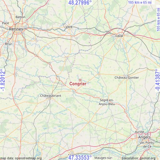
Congrier GPS coordinates[2]
47° 48' 35.604" North, 1° 7' 1.2" West
| Map corner | latitude | longitude |
|---|---|---|
| Upper-left | 48.27996°, | -1.82012° |
| Center: | 47.80989°, | -1.117° |
| Lower-right: | 47.33553°, | -0.41387° |
| Map W x H: | 105×105 km | = 65.2×65.2mi |
| max Lat: | 51.07786° ⇑44.1% North |
| Congrier: | 47.80989° |
| min Lat: | ⇓55.9% South 41.3874° |
| min Long | Congrier | max Long |
| -5.08615° | -1.117° | 9.52242° |
| W 10.7%⇐ | ⇒89.3% E |
Elevation
Elevation of Congrier is 83 m = 272 ft, and this is 110.7 m = 363 ft below average elevation for this country.
| Max E: |
2333 m = 7654 ft | 67.8% |
| Avg. | 193.7 m = 635 ft | |
| Congrier | 83 m = 272 ft | |
Min E: |
-1 m = -3 ft | 32.2% |
See also: France elevation on elevation.city.
Geographical zone
Congrier is located in North temperate zone (between Tropic of Cancer and the Arctic Circle). Distance of this North polar circle is 2085.2 km =1295.7 mi to North.| Distance of | km | miles | from Congrier |
|---|---|---|---|
| North Pole | 4691.1 | 2914.9 | to North |
| Arctic Circle | 2085.2 | 1295.7 | to North |
| Tropic Cancer | 2710 | 1683.9 | to South |
| Equator | 5316 | 3303.2 | to South |


Nearby cities:
15 places around Congrier: (largest is in red/bold)
• Athée
15.1 km =9.4 mi,  55°
55°
• Ballots
10.9 km =6.8 mi,  28°
28°
• Bouchamps-lès-Craon
9.3 km =5.8 mi,  86°
86°
• Bouillé-Ménard
13.5 km =8.4 mi,  124°
124°
• Chazé-Henry
6.4 km =4 mi,  176°
176°
• Combrée
13.4 km =8.3 mi,  150°
150°
• Craon
13.2 km =8.2 mi,  71°
71°
• La Selle-Craonnaise
6.6 km =4.1 mi, 56°
• Livré-la-Touche
13.9 km =8.6 mi,  53°
53°
• Martigné-Ferchaud
15.2 km =9.4 mi,  278°
278°
• Pouancé
8.7 km =5.4 mi,  209°
209°
• Renazé
5 km =3.1 mi,  111°
111°
• Saint-Aignan-sur-Roë
3.7 km =2.3 mi,  336°
336°
• Saint-Saturnin-du-Limet
3.7 km =2.3 mi, 86°
• Villepot
12.6 km =7.8 mi,  252°
252°
Sources, notices
• [Note1] Compared only with cities in France existing in our database
• [Src1] Map data: © OpenStreetMap contributors (CC-BY-SA)
• [Src2] Other city data from geonames.org with taken over terms of usage.
• [Src3] Geographical zone / Annual Mean Temperature by Robert A. Rohde @ Wikipedia
