Catllar geodata
Catllar (Occitanie) is a populated place; located in France in Europe/Paris (GMT+2) time zone. With population of 713 people, there are 11611 cities with bigger population in this country. Compared to other cities in France, 99.2% of cities are located further ↑North; 50.7% of cities are located further →East and 84.2% of cities have lower elevation than Catllar. Note1
Administrative division(s):
- Level 1: Occitanie
- Level 2: Département des Pyrénées-Orientales
- Level 3: Arrondissement de Prades
- Level 4: Catllar


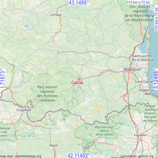
Catllar GPS coordinates[2]
42° 38' 0.456" North, 2° 25' 18.66" East
| Map corner | latitude | longitude |
|---|---|---|
| Upper-left | 43.1486°, | 1.71873° |
| Center: | 42.63346°, | 2.42185° |
| Lower-right: | 42.11402°, | 3.12498° |
| Map W x H: | 115×115 km | = 71.5×71.5mi |
| max Lat: | 51.07786° ⇑99.2% North |
| Catllar: | 42.63346° |
| min Lat: | ⇓0.8% South 41.3874° |
| min Long | Catllar | max Long |
| -5.08615° | 2.42185° | 9.52242° |
| W 49.3%⇐ | ⇒50.7% E |
Elevation
Elevation of Catllar is 337 m = 1106 ft, and this is 143.3 m = 470 ft above average elevation for this country.
| Max E: |
2333 m = 7654 ft | 15.8% |
| Catllar | 337 m 1106 ft | |
| Avg. | 193.7 m = 635 ft | |
Min E: |
-1 m = -3 ft | 84.2% |
See also: France elevation on elevation.city.
Geographical zone
Catllar is located in North temperate zone (between Tropic of Cancer and the Arctic Circle). Distance of this Northern Tropic circle is 2134.5 km =1326.3 mi to South.| Distance of | km | miles | from Catllar |
|---|---|---|---|
| North Pole | 5266.7 | 3272.6 | to North |
| Arctic Circle | 2660.8 | 1653.3 | to North |
| Tropic Cancer | 2134.5 | 1326.3 | to South |
| Equator | 4740.4 | 2945.5 | to South |


Nearby cities:
15 places around Catllar: (largest is in red/bold)
• Bouleternère
13.5 km =8.4 mi,  82°
82°
• Caudiès-de-Fenouillèdes
20.2 km =12.6 mi,  349°
349°
• Corbère
19.7 km =12.2 mi, 83°
• Corbère-les-Cabanes
20.9 km =13 mi, 82°
• Ille-sur-Têt
16.9 km =10.5 mi, 75°
• Los Masos
2.3 km =1.4 mi,  90°
90°
• Marquixanes
5.1 km =3.2 mi, 81°
• Millas
23.3 km =14.5 mi,  73°
73°
• Néfiach
21.2 km =13.2 mi, 71°
• Prades
1.8 km =1.1 mi,  179°
179°
• Ria-Sirach
2.6 km =1.6 mi,  223°
223°
• Rodès
11.8 km =7.3 mi, 77°
• Saint-Paul-de-Fenouillet
20.7 km =12.9 mi,  18°
18°
• Vernet-les-Bains
9.9 km =6.2 mi,  196°
196°
• Vinça
8.8 km =5.5 mi, 81°
Sources, notices
• [Note1] Compared only with cities in France existing in our database
• [Src1] Map data: © OpenStreetMap contributors (CC-BY-SA)
• [Src2] Other city data from geonames.org with taken over terms of usage.
• [Src3] Geographical zone / Annual Mean Temperature by Robert A. Rohde @ Wikipedia
