Callac geodata
Callac (Brittany) is a populated place; located in France in Europe/Paris (GMT+2) time zone. With population of 2,564 people, there are 3798 cities with bigger population in this country. Compared to other cities in France, 66.4% of cities are located further ↓South; 98.2% of cities are located further →East and 57.6% of cities have lower elevation than Callac. Note1
Administrative division(s):
- Level 1: Brittany
- Level 2: Département des Côtes-d’Armor
- Level 3: Arrondissement de Guingamp
- Level 4: Callac


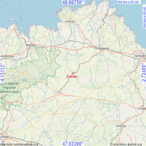
Callac GPS coordinates[2]
48° 24' 10.512" North, 3° 25' 40.8" West
| Map corner | latitude | longitude |
|---|---|---|
| Upper-left | 48.86758°, | -4.13113° |
| Center: | 48.40292°, | -3.428° |
| Lower-right: | 47.93398°, | -2.72488° |
| Map W x H: | 103.8×103.8 km | = 64.5×64.5mi |
| max Lat: | 51.07786° ⇑33.6% North |
| Callac: | 48.40292° |
| min Lat: | ⇓66.4% South 41.3874° |
| min Long | Callac | max Long |
| -5.08615° | -3.428° | 9.52242° |
| W 1.8%⇐ | ⇒98.2% E |
Elevation
Elevation of Callac is 160 m = 525 ft, and this is 33.7 m = 111 ft below average elevation for this country.
| Max E: |
2333 m = 7654 ft | 42.4% |
| Avg. | 193.7 m = 635 ft | |
| Callac | 160 m = 525 ft | |
Min E: |
-1 m = -3 ft | 57.6% |
See also: France elevation on elevation.city.
Geographical zone
Callac is located in North temperate zone (between Tropic of Cancer and the Arctic Circle). Distance of this North polar circle is 2019.3 km =1254.7 mi to North.| Distance of | km | miles | from Callac |
|---|---|---|---|
| North Pole | 4625.2 | 2874 | to North |
| Arctic Circle | 2019.3 | 1254.7 | to North |
| Tropic Cancer | 2776 | 1724.9 | to South |
| Equator | 5381.9 | 3344.2 | to South |


Nearby cities:
15 places around Callac: (largest is in red/bold)
• Belle-Isle-en-Terre
16 km =9.9 mi,  8°
8°
• Carnoët
7.9 km =4.9 mi,  240°
240°
• Guerlesquin
17.3 km =10.7 mi,  317°
317°
• Kergrist-Moëlou
13.2 km =8.2 mi,  141°
141°
• Lanrivain
17 km =10.6 mi,  111°
111°
• Le Moustoir
16.2 km =10.1 mi,  200°
200°
• Loguivy-Plougras
14 km =8.7 mi,  341°
341°
• Maël-Carhaix
13.2 km =8.2 mi,  178°
178°
• Plougonver
9.8 km =6.1 mi,  22°
22°
• Plougras
16.3 km =10.1 mi, 321°
• Plounévézel
17.1 km =10.6 mi,  227°
227°
• Plusquellec
4.6 km =2.9 mi, 241°
• Pont-Melvez
11 km =6.8 mi,  54°
54°
• Treffrin
13.2 km =8.2 mi,  209°
209°
• Trébrivan
10.4 km =6.5 mi, 203°
Sources, notices
• [Note1] Compared only with cities in France existing in our database
• [Src1] Map data: © OpenStreetMap contributors (CC-BY-SA)
• [Src2] Other city data from geonames.org with taken over terms of usage.
• [Src3] Geographical zone / Annual Mean Temperature by Robert A. Rohde @ Wikipedia
