Budelière geodata
Budelière (Nouvelle-Aquitaine) is a populated place; located in France in Europe/Paris (GMT+2) time zone. With population of 752 people, there are 11147 cities with bigger population in this country. Compared to other cities in France, 63.2% of cities are located further ↑North; 50.1% of cities are located further ←West and 89% of cities have lower elevation than Budelière. Note1
Administrative division(s):
- Level 1: Nouvelle-Aquitaine
- Level 2: Creuse
- Level 3: Aubusson
- Level 4: Budelière


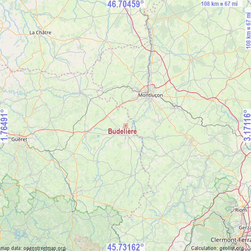
Budelière GPS coordinates[2]
46° 13' 12.936" North, 2° 28' 4.908" East
| Map corner | latitude | longitude |
|---|---|---|
| Upper-left | 46.70459°, | 1.76491° |
| Center: | 46.22026°, | 2.46803° |
| Lower-right: | 45.73162°, | 3.17116° |
| Map W x H: | 108.2×108.2 km | = 67.2×67.2mi |
| max Lat: | 51.07786° ⇑63.2% North |
| Budelière: | 46.22026° |
| min Lat: | ⇓36.8% South 41.3874° |
| min Long | Budelière | max Long |
| -5.08615° | 2.46803° | 9.52242° |
| W 50.1%⇐ | ⇒49.9% E |
Elevation
Elevation of Budelière is 407 m = 1335 ft, and this is 213.3 m = 700 ft above average elevation for this country.
| Max E: |
2333 m = 7654 ft | 11% |
| Budelière | 407 m 1335 ft | |
| Avg. | 193.7 m = 635 ft | |
Min E: |
-1 m = -3 ft | 89% |
See also: France elevation on elevation.city.
Geographical zone
Budelière is located in North temperate zone (between Tropic of Cancer and the Arctic Circle). Distance of this North polar circle is 2262 km =1405.5 mi to North.| Distance of | km | miles | from Budelière |
|---|---|---|---|
| North Pole | 4867.9 | 3024.8 | to North |
| Arctic Circle | 2262 | 1405.5 | to North |
| Tropic Cancer | 2533.3 | 1574.1 | to South |
| Equator | 5139.2 | 3193.3 | to South |


Nearby cities:
15 places around Budelière: (largest is in red/bold)
• Chambon-sur-Voueize
4.7 km =2.9 mi,  224°
224°
• Domérat
16.4 km =10.2 mi,  18°
18°
• Huriel
17 km =10.6 mi,  2°
2°
• Lavault-Sainte-Anne
14.2 km =8.8 mi,  45°
45°
• Lignerolles
10.1 km =6.3 mi, 48°
• Marcillat-en-Combraille
14 km =8.7 mi,  114°
114°
• Montluçon
16.9 km =10.5 mi,  37°
37°
• Néris-les-Bains
16.4 km =10.2 mi,  63°
63°
• Prémilhat
11.6 km =7.2 mi,  26°
26°
• Quinssaines
12.3 km =7.6 mi, 15°
• Saint-Martinien
12.8 km =8 mi, 0°
• Soumans
15.3 km =9.5 mi,  305°
305°
• Vallière
5 km =3.1 mi,  339°
339°
• Villebret
14.1 km =8.8 mi,  68°
68°
• Évaux-les-Bains
5.2 km =3.2 mi,  165°
165°
Sources, notices
• [Note1] Compared only with cities in France existing in our database
• [Src1] Map data: © OpenStreetMap contributors (CC-BY-SA)
• [Src2] Other city data from geonames.org with taken over terms of usage.
• [Src3] Geographical zone / Annual Mean Temperature by Robert A. Rohde @ Wikipedia
