Aumale geodata
Aumale (Normandy) is a populated place; located in France in Europe/Paris (GMT+2) time zone. With population of 2,705 people, there are 3613 cities with bigger population in this country. Compared to other cities in France, 92% of cities are located further ↓South; 59.9% of cities are located further →East and 54.4% of cities have higher elevation than Aumale. Note1
Administrative division(s):
- Level 1: Normandy
- Level 2: Seine-Maritime
- Level 3: Arrondissement de Dieppe
- Level 4: Aumale


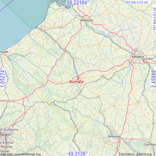
Aumale GPS coordinates[2]
49° 46' 11.46" North, 1° 45' 21.132" East
| Map corner | latitude | longitude |
|---|---|---|
| Upper-left | 50.22184°, | 1.05274° |
| Center: | 49.76985°, | 1.75587° |
| Lower-right: | 49.3136°, | 2.45899° |
| Map W x H: | 101×101 km | = 62.8×62.8mi |
| max Lat: | 51.07786° ⇑8% North |
| Aumale: | 49.76985° |
| min Lat: | ⇓92% South 41.3874° |
| min Long | Aumale | max Long |
| -5.08615° | 1.75587° | 9.52242° |
| W 40.1%⇐ | ⇒59.9% E |
Elevation
Elevation of Aumale is 118 m = 387 ft, and this is 75.7 m = 248 ft below average elevation for this country.
| Max E: |
2333 m = 7654 ft | 54.4% |
| Avg. | 193.7 m = 635 ft | |
| Aumale | 118 m = 387 ft | |
Min E: |
-1 m = -3 ft | 45.6% |
See also: France elevation on elevation.city.
Geographical zone
Aumale is located in North temperate zone (between Tropic of Cancer and the Arctic Circle). Distance of this North polar circle is 1867.3 km =1160.3 mi to North.| Distance of | km | miles | from Aumale |
|---|---|---|---|
| North Pole | 4473.2 | 2779.5 | to North |
| Arctic Circle | 1867.3 | 1160.3 | to North |
| Tropic Cancer | 2928 | 1819.4 | to South |
| Equator | 5533.9 | 3438.6 | to South |


Nearby cities:
15 places around Aumale: (largest is in red/bold)
• Abancourt
8.2 km =5.1 mi,  175°
175°
• Beaucamps-le-Vieux
8.7 km =5.4 mi,  12°
12°
• Boutavent
19.9 km =12.4 mi,  171°
171°
• Feuquières
15.2 km =9.4 mi,  154°
154°
• Formerie
13.5 km =8.4 mi,  187°
187°
• Foucarmont
15.9 km =9.9 mi,  302°
302°
• Gaillefontaine
16.4 km =10.2 mi,  218°
218°
• Grandvilliers
17.7 km =11 mi,  131°
131°
• Hornoy-le-Bourg
13.7 km =8.5 mi,  49°
49°
• Moliens
12.1 km =7.5 mi,  161°
161°
• Neuville-Coppegueule
8.6 km =5.3 mi,  359°
359°
• Poix-de-Picardie
16.4 km =10.2 mi,  84°
84°
• Romescamps
7.4 km =4.6 mi, 151°
• Senarpont
13.5 km =8.4 mi,  348°
348°
• Vieux-Rouen-sur-Bresle
7.6 km =4.7 mi,  340°
340°
Sources, notices
• [Note1] Compared only with cities in France existing in our database
• [Src1] Map data: © OpenStreetMap contributors (CC-BY-SA)
• [Src2] Other city data from geonames.org with taken over terms of usage.
• [Src3] Geographical zone / Annual Mean Temperature by Robert A. Rohde @ Wikipedia
