Arnèke geodata
Arnèke (Hauts-de-France) is a populated place; located in France in Europe/Paris (GMT+2) time zone. With population of 1,517 people, there are 6130 cities with bigger population in this country. Compared to other cities in France, 99.4% of cities are located further ↓South; 51% of cities are located further →East and 92.4% of cities have higher elevation than Arnèke. Note1
Administrative division(s):
- Level 1: Hauts-de-France
- Level 2: Nord
- Level 3: Arrondissement de Dunkerque
- Level 4: Arnèke


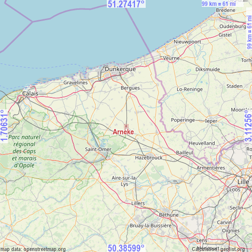
Arnèke GPS coordinates[2]
50° 49' 55.884" North, 2° 24' 33.948" East
| Map corner | latitude | longitude |
|---|---|---|
| Upper-left | 51.27417°, | 1.70631° |
| Center: | 50.83219°, | 2.40943° |
| Lower-right: | 50.38599°, | 3.11256° |
| Map W x H: | 98.8×98.8 km | = 61.4×61.4mi |
| max Lat: | 51.07786° ⇑0.6% North |
| Arnèke: | 50.83219° |
| min Lat: | ⇓99.4% South 41.3874° |
| min Long | Arnèke | max Long |
| -5.08615° | 2.40943° | 9.52242° |
| W 49%⇐ | ⇒51% E |
Elevation
Elevation of Arnèke is 24 m = 79 ft, and this is 169.7 m = 557 ft below average elevation for this country.
| Max E: |
2333 m = 7654 ft | 92.4% |
| Avg. | 193.7 m = 635 ft | |
| Arnèke | 24 m = 79 ft | |
Min E: |
-1 m = -3 ft | 7.6% |
See also: France elevation on elevation.city.
Geographical zone
Arnèke is located in North temperate zone (between Tropic of Cancer and the Arctic Circle). Distance of this North polar circle is 1749.2 km =1086.9 mi to North.| Distance of | km | miles | from Arnèke |
|---|---|---|---|
| North Pole | 4355.1 | 2706.1 | to North |
| Arctic Circle | 1749.2 | 1086.9 | to North |
| Tropic Cancer | 3046.1 | 1892.8 | to South |
| Equator | 5652 | 3512 | to South |


Nearby cities:
15 places around Arnèke: (largest is in red/bold)
• Bavinchove
6.1 km =3.8 mi,  146°
146°
• Bollezeele
5.8 km =3.6 mi,  311°
311°
• Cassel
6.4 km =4 mi,  122°
122°
• Esquelbecq
6.3 km =3.9 mi,  14°
14°
• Lederzeele
7.6 km =4.7 mi,  260°
260°
• Ledringhem
3.5 km =2.2 mi,  40°
40°
• Merckeghem
8.6 km =5.3 mi,  292°
292°
• Noordpeene
2.9 km =1.8 mi,  192°
192°
• Oudezeele
7.1 km =4.4 mi,  84°
84°
• Rubrouck
3.8 km =2.4 mi,  281°
281°
• Sainte-Marie-Cappel
8.7 km =5.4 mi,  127°
127°
• Staple
9.8 km =6.1 mi,  161°
161°
• Volckerinckhove
7.3 km =4.5 mi, 275°
• Wormhout
6.9 km =4.3 mi, 37°
• Zegerscappel
5.7 km =3.5 mi,  353°
353°
Sources, notices
• [Note1] Compared only with cities in France existing in our database
• [Src1] Map data: © OpenStreetMap contributors (CC-BY-SA)
• [Src2] Other city data from geonames.org with taken over terms of usage.
• [Src3] Geographical zone / Annual Mean Temperature by Robert A. Rohde @ Wikipedia
