Brae geodata
Brae (Scotland) is a populated place; located in United Kingdom in Europe/London (GMT+0) time zone. With population of 720 people, there are 4216 cities with bigger population in this country. Compared to other cities in United Kingdom, 100% of cities are located further ↓South; 58.8% of cities are located further ←West and 67.5% of cities have higher elevation than Brae. Note1


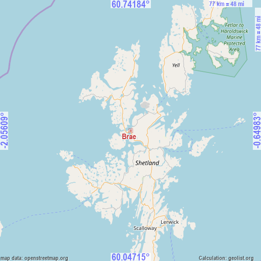
Brae GPS coordinates[2]
60° 23' 46.86" North, 1° 21' 10.656" West
| Map corner | latitude | longitude |
|---|---|---|
| Upper-left | 60.74184°, | -2.05609° |
| Center: | 60.39635°, | -1.35296° |
| Lower-right: | 60.04715°, | -0.64983° |
| Map W x H: | 77.2×77.2 km | = 48×48mi |
| max Lat: | 60.39635° ⇑0% North |
| Brae: | 60.39635° |
| min Lat: | ⇓100% South 34.60088° |
| min Long | Brae | max Long |
| -7.64133° | -1.35296° | 32.95536° |
| W 58.8%⇐ | ⇒41.2% E |
Elevation
Elevation of Brae is 36 m = 118 ft, and this is 36.9 m = 121 ft below average elevation for this country.
| Max E: |
515 m = 1690 ft | 67.5% |
| Avg. | 72.9 m = 239 ft | |
| Brae | 36 m = 118 ft | |
Min E: |
-30 m = -98 ft | 32.5% |
See also: United Kingdom elevation on elevation.city.
Geographical zone
Brae is located in North temperate zone (between Tropic of Cancer and the Arctic Circle). Distance of this North polar circle is 685.7 km =426.1 mi to North.| Distance of | km | miles | from Brae |
|---|---|---|---|
| North Pole | 3291.6 | 2045.3 | to North |
| Arctic Circle | 685.7 | 426.1 | to North |
| Tropic Cancer | 4109.5 | 2553.5 | to South |
| Equator | 6715.4 | 4172.8 | to South |


Nearby cities:
15 places around Brae: (largest is in red/bold)
• Brora
301 km =187 mi,  208°
208°
• Castletown
231 km =143.5 mi, 209°
• Halkirk
241.8 km =150.2 mi, 209°
• Helmsdale
285.2 km =177.2 mi, 207°
• Kirkwall
181 km =112.5 mi, 209°
• Lerwick
29.4 km =18.3 mi,  156°
156°
• Orkney
181 km =112.5 mi, 209°
• Rosehearty
303.3 km =188.5 mi,  188°
188°
• Sandhaven
302.8 km =188.2 mi, 187°
• Sandwick
44.4 km =27.6 mi,  172°
172°
• Scalloway
29 km =18 mi, 171°
• Stromness
192.9 km =119.9 mi, 214°
• Symbister
19 km =11.8 mi,  108°
108°
• Thurso
235 km =146 mi, 211°
• Wick
238.9 km =148.4 mi,  204°
204°
Sources, notices
• [Note1] Compared only with cities in United Kingdom existing in our database
• [Src1] Map data: © OpenStreetMap contributors (CC-BY-SA)
• [Src2] Other city data from geonames.org with taken over terms of usage.
• [Src3] Geographical zone / Annual Mean Temperature by Robert A. Rohde @ Wikipedia
