Southgate geodata
Southgate (Wales) is a populated place; located in United Kingdom in Europe/London (GMT+1) time zone. With population of 2,004 people, there are 2623 cities with bigger population in this country. Compared to other cities in United Kingdom, 75.4% of cities are located further ↑North; 89.2% of cities are located further →East and 52.4% of cities have lower elevation than Southgate. Note1


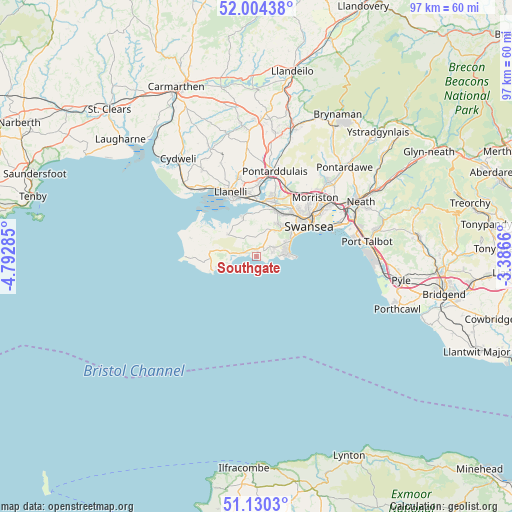
Southgate GPS coordinates[2]
51° 34' 9.984" North, 4° 5' 22.992" West
| Map corner | latitude | longitude |
|---|---|---|
| Upper-left | 52.00438°, | -4.79285° |
| Center: | 51.56944°, | -4.08972° |
| Lower-right: | 51.1303°, | -3.3866° |
| Map W x H: | 97.2×97.2 km | = 60.4×60.4mi |
| max Lat: | 60.39635° ⇑75.4% North |
| Southgate: | 51.56944° |
| min Lat: | ⇓24.6% South 34.60088° |
| min Long | Southgate | max Long |
| -7.64133° | -4.08972° | 32.95536° |
| W 10.8%⇐ | ⇒89.2% E |
Elevation
Elevation of Southgate is 64 m = 210 ft, and this is 8.9 m = 29 ft below average elevation for this country.
| Max E: |
515 m = 1690 ft | 47.6% |
| Avg. | 72.9 m = 239 ft | |
| Southgate | 64 m = 210 ft | |
Min E: |
-30 m = -98 ft | 52.4% |
See also: United Kingdom elevation on elevation.city.
Geographical zone
Southgate is located in North temperate zone (between Tropic of Cancer and the Arctic Circle). Distance of this North polar circle is 1667.2 km =1035.9 mi to North.| Distance of | km | miles | from Southgate |
|---|---|---|---|
| North Pole | 4273.1 | 2655.2 | to North |
| Arctic Circle | 1667.2 | 1035.9 | to North |
| Tropic Cancer | 3128.1 | 1943.7 | to South |
| Equator | 5734 | 3562.9 | to South |


Nearby cities:
15 places around Southgate: (largest is in red/bold)
• Bishopston
3 km =1.9 mi,  72°
72°
• Burry Port
16.8 km =10.4 mi,  319°
319°
• Crofty
7.7 km =4.8 mi,  339°
339°
• Gorseinon
11.6 km =7.2 mi,  16°
16°
• Grovesend
13.3 km =8.3 mi, 15°
• Landore
13.2 km =8.2 mi,  51°
51°
• Llanelli
13.5 km =8.4 mi, 338°
• Llanrhidian
6.9 km =4.3 mi,  306°
306°
• Morriston
15.7 km =9.8 mi,  44°
44°
• Pen-clawdd
7.9 km =4.9 mi,  355°
355°
• Pennard
0.8 km =0.5 mi,  14°
14°
• Pontarddulais
16.5 km =10.3 mi, 12°
• Pontlliw
14.6 km =9.1 mi, 21°
• Swansea
11.6 km =7.2 mi,  60°
60°
• Three Crosses
6.8 km =4.2 mi, 15°
Sources, notices
• [Note1] Compared only with cities in United Kingdom existing in our database
• [Src1] Map data: © OpenStreetMap contributors (CC-BY-SA)
• [Src2] Other city data from geonames.org with taken over terms of usage.
• [Src3] Geographical zone / Annual Mean Temperature by Robert A. Rohde @ Wikipedia
