Stefáni geodata
Stefáni (Epirus) is a populated place; located in Greece in Europe/Athens (GMT+3) time zone. With population of 567 people, there are 1655 cities with bigger population in this country. Compared to other cities in Greece, 50.6% of cities are located further ↑North; 94.1% of cities are located further →East and 77.6% of cities have higher elevation than Stefáni. Note1


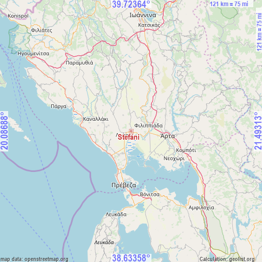
Stefáni GPS coordinates[2]
39° 10' 50.592" North, 20° 47' 24" East
| Map corner | latitude | longitude |
|---|---|---|
| Upper-left | 39.72364°, | 20.08688° |
| Center: | 39.18072°, | 20.79° |
| Lower-right: | 38.63358°, | 21.49313° |
| Map W x H: | 121.2×121.2 km | = 75.3×75.3mi |
| max Lat: | 41.72048° ⇑50.6% North |
| Stefáni: | 39.18072° |
| min Lat: | ⇓49.4% South 34.8346° |
| min Long | Stefáni | max Long |
| 19.40494° | 20.79° | 29.59361° |
| W 5.9%⇐ | ⇒94.1% E |
Elevation
Elevation of Stefáni is 20 m = 66 ft, and this is 148.9 m = 489 ft below average elevation for this country.
| Max E: |
1439 m = 4721 ft | 77.6% |
| Avg. | 168.9 m = 554 ft | |
| Stefáni | 20 m = 66 ft | |
Min E: |
0 m = 0 ft | 22.4% |
See also: Greece elevation on elevation.city.
Geographical zone
Stefáni is located in North temperate zone (between Tropic of Cancer and the Arctic Circle). Distance of this Northern Tropic circle is 1750.6 km =1087.8 mi to South.| Distance of | km | miles | from Stefáni |
|---|---|---|---|
| North Pole | 5650.6 | 3511.1 | to North |
| Arctic Circle | 3044.7 | 1891.9 | to North |
| Tropic Cancer | 1750.6 | 1087.8 | to South |
| Equator | 4356.5 | 2707 | to South |


Nearby cities:
15 places around Stefáni: (largest is in red/bold)
• Filippiáda
8.4 km =5.2 mi,  71°
71°
• Kampí
10.3 km =6.4 mi, 66°
• Kranéa
8.2 km =5.1 mi,  333°
333°
• Loúros
3.4 km =2.1 mi,  240°
240°
• Néa Kerasoúnta
6.4 km =4 mi,  114°
114°
• Néa Sampsoúnta
11 km =6.8 mi,  201°
201°
• Néa Sinópi
12.3 km =7.6 mi,  207°
207°
• Néos Oropós
5.7 km =3.5 mi,  234°
234°
• Oropós
6.4 km =4 mi,  253°
253°
• Pétra
3.6 km =2.2 mi,  136°
136°
• Rizovoúni
8.9 km =5.5 mi,  11°
11°
• Ráchi
12 km =7.5 mi,  128°
128°
• Thesprotikó
7.8 km =4.8 mi,  357°
357°
• Ágios Geórgios
11.1 km =6.9 mi,  29°
29°
• Ágios Spyrídon
7.5 km =4.7 mi,  122°
122°
Sources, notices
• [Note1] Compared only with cities in Greece existing in our database
• [Src1] Map data: © OpenStreetMap contributors (CC-BY-SA)
• [Src2] Other city data from geonames.org with taken over terms of usage.
• [Src3] Geographical zone / Annual Mean Temperature by Robert A. Rohde @ Wikipedia
