Thesprotikó geodata
Thesprotikó (Epirus) is a populated place; located in Greece in Europe/Athens (GMT+3) time zone. With population of 1,718 people, there are 591 cities with bigger population in this country. Compared to other cities in Greece, 50.5% of cities are located further ↓South; 94.2% of cities are located further →East and 60.2% of cities have higher elevation than Thesprotikó. Note1


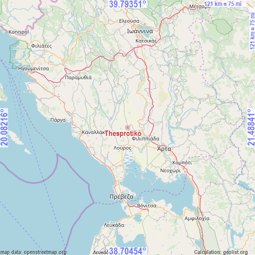
Thesprotikó GPS coordinates[2]
39° 15' 4.104" North, 20° 47' 7.008" East
| Map corner | latitude | longitude |
|---|---|---|
| Upper-left | 39.79351°, | 20.08216° |
| Center: | 39.25114°, | 20.78528° |
| Lower-right: | 38.70454°, | 21.48841° |
| Map W x H: | 121.1×121.1 km | = 75.2×75.2mi |
| max Lat: | 41.72048° ⇑49.5% North |
| Thesprotikó: | 39.25114° |
| min Lat: | ⇓50.5% South 34.8346° |
| min Long | Thesprotikó | max Long |
| 19.40494° | 20.78528° | 29.59361° |
| W 5.8%⇐ | ⇒94.2% E |
Elevation
Elevation of Thesprotikó is 49 m = 161 ft, and this is 119.9 m = 393 ft below average elevation for this country.
| Max E: |
1439 m = 4721 ft | 60.2% |
| Avg. | 168.9 m = 554 ft | |
| Thesprotikó | 49 m = 161 ft | |
Min E: |
0 m = 0 ft | 39.8% |
See also: Greece elevation on elevation.city.
Geographical zone
Thesprotikó is located in North temperate zone (between Tropic of Cancer and the Arctic Circle). Distance of this Northern Tropic circle is 1758.4 km =1092.6 mi to South.| Distance of | km | miles | from Thesprotikó |
|---|---|---|---|
| North Pole | 5642.7 | 3506.2 | to North |
| Arctic Circle | 3036.9 | 1887 | to North |
| Tropic Cancer | 1758.4 | 1092.6 | to South |
| Equator | 4364.3 | 2711.8 | to South |


Nearby cities:
15 places around Thesprotikó: (largest is in red/bold)
• Ammótopos
13.7 km =8.5 mi,  80°
80°
• Filippiáda
9.8 km =6.1 mi,  121°
121°
• Gymnótopos
11.1 km =6.9 mi,  67°
67°
• Kampí
10.6 km =6.6 mi,  110°
110°
• Kranéa
3.3 km =2.1 mi,  261°
261°
• Loúros
9.8 km =6.1 mi,  194°
194°
• Néa Kerasoúnta
12.1 km =7.5 mi,  149°
149°
• Néos Oropós
11.9 km =7.4 mi,  200°
200°
• Oropós
11.3 km =7 mi,  210°
210°
• Pappadátes
7.1 km =4.4 mi,  5°
5°
• Pétra
10.8 km =6.7 mi,  164°
164°
• Rizovoúni
2.4 km =1.5 mi, 67°
• Stefáni
7.8 km =4.8 mi,  177°
177°
• Ágios Geórgios
6.2 km =3.9 mi, 73°
• Ágios Spyrídon
13.6 km =8.5 mi, 150°
Sources, notices
• [Note1] Compared only with cities in Greece existing in our database
• [Src1] Map data: © OpenStreetMap contributors (CC-BY-SA)
• [Src2] Other city data from geonames.org with taken over terms of usage.
• [Src3] Geographical zone / Annual Mean Temperature by Robert A. Rohde @ Wikipedia
