Pétra geodata
Pétra (Epirus) is a populated place; located in Greece in Europe/Athens (GMT+3) time zone. With population of 529 people, there are 1743 cities with bigger population in this country. Compared to other cities in Greece, 51% of cities are located further ↑North; 88.8% of cities are located further →East and 91.5% of cities have lower elevation than Pétra. Note1
Administrative division(s):
- Level 1: Epirus
- Level 2: Nomós Ártas
- Level 3: Dimos Georgios Karaiskakis


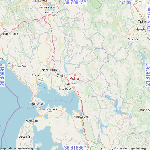
Pétra GPS coordinates[2]
39° 9' 58.032" North, 21° 6' 46.908" East
| Map corner | latitude | longitude |
|---|---|---|
| Upper-left | 39.70915°, | 20.40991° |
| Center: | 39.16612°, | 21.11303° |
| Lower-right: | 38.61886°, | 21.81616° |
| Map W x H: | 121.2×121.2 km | = 75.3×75.3mi |
| max Lat: | 41.72048° ⇑51% North |
| Pétra: | 39.16612° |
| min Lat: | ⇓49% South 34.8346° |
| min Long | Pétra | max Long |
| 19.40494° | 21.11303° | 29.59361° |
| W 11.2%⇐ | ⇒88.8% E |
Elevation
Elevation of Pétra is 555 m = 1821 ft, and this is 386.1 m = 1267 ft above average elevation for this country.
| Max E: |
1439 m = 4721 ft | 8.5% |
| Pétra | 555 m 1821 ft | |
| Avg. | 168.9 m = 554 ft | |
Min E: |
0 m = 0 ft | 91.5% |
See also: Greece elevation on elevation.city.
Geographical zone
Pétra is located in North temperate zone (between Tropic of Cancer and the Arctic Circle). Distance of this Northern Tropic circle is 1748.9 km =1086.7 mi to South.| Distance of | km | miles | from Pétra |
|---|---|---|---|
| North Pole | 5652.2 | 3512.1 | to North |
| Arctic Circle | 3046.3 | 1892.9 | to North |
| Tropic Cancer | 1748.9 | 1086.7 | to South |
| Equator | 4354.9 | 2706 | to South |


Nearby cities:
15 places around Pétra: (largest is in red/bold)
• Agía Paraskeví
12.9 km =8 mi,  234°
234°
• Akropotamiá
11.3 km =7 mi, 225°
• Eleoúsa
13.1 km =8.1 mi,  263°
263°
• Grammenítsa
11.7 km =7.3 mi,  280°
280°
• Kompóti
7.5 km =4.7 mi,  199°
199°
• Kostakioí
13.8 km =8.6 mi, 256°
• Megárchi
4.9 km =3 mi, 229°
• Menídi
13.8 km =8.6 mi,  177°
177°
• Neochóri
13.4 km =8.3 mi,  217°
217°
• Pachykálamos
12.6 km =7.8 mi, 222°
• Péta
6.8 km =4.2 mi,  270°
270°
• Selládes
7.1 km =4.4 mi,  205°
205°
• Ágioi Anárgyroi
8 km =5 mi,  248°
248°
• Áno Kalentíni
11.2 km =7 mi,  33°
33°
• Árta
11 km =6.8 mi, 266°
Sources, notices
• [Note1] Compared only with cities in Greece existing in our database
• [Src1] Map data: © OpenStreetMap contributors (CC-BY-SA)
• [Src2] Other city data from geonames.org with taken over terms of usage.
• [Src3] Geographical zone / Annual Mean Temperature by Robert A. Rohde @ Wikipedia
