Ampelákia geodata
Ampelákia (Attica) is a populated place; located in Greece in Europe/Athens (GMT+3) time zone. With population of 4,710 people, there are 248 cities with bigger population in this country. Compared to other cities in Greece, 75.9% of cities are located further ↑North; 65% of cities are located further ←West and 78.7% of cities have higher elevation than Ampelákia. Note1


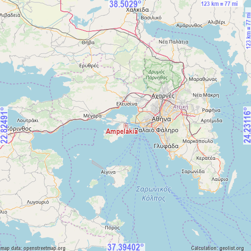
Ampelákia GPS coordinates[2]
37° 57' 1.98" North, 23° 31' 40.908" East
| Map corner | latitude | longitude |
|---|---|---|
| Upper-left | 38.5029°, | 22.82491° |
| Center: | 37.95055°, | 23.52803° |
| Lower-right: | 37.39402°, | 24.23116° |
| Map W x H: | 123.3×123.3 km | = 76.6×76.6mi |
| max Lat: | 41.72048° ⇑75.9% North |
| Ampelákia: | 37.95055° |
| min Lat: | ⇓24.1% South 34.8346° |
| min Long | Ampelákia | max Long |
| 19.40494° | 23.52803° | 29.59361° |
| W 65%⇐ | ⇒35% E |
Elevation
Elevation of Ampelákia is 19 m = 62 ft, and this is 149.9 m = 492 ft below average elevation for this country.
| Max E: |
1439 m = 4721 ft | 78.7% |
| Avg. | 168.9 m = 554 ft | |
| Ampelákia | 19 m = 62 ft | |
Min E: |
0 m = 0 ft | 21.3% |
See also: Greece elevation on elevation.city.
Geographical zone
Ampelákia is located in North temperate zone (between Tropic of Cancer and the Arctic Circle). Distance of this Northern Tropic circle is 1613.8 km =1002.8 mi to South.| Distance of | km | miles | from Ampelákia |
|---|---|---|---|
| North Pole | 5787.4 | 3596.1 | to North |
| Arctic Circle | 3181.5 | 1976.9 | to North |
| Tropic Cancer | 1613.8 | 1002.8 | to South |
| Equator | 4219.7 | 2622 | to South |


Nearby cities:
15 places around Ampelákia: (largest is in red/bold)
• Agios Ioannis Rentis
12.1 km =7.5 mi,  82°
82°
• Agía Varvára
12.4 km =7.7 mi,  69°
69°
• Aiánteio
6.9 km =4.3 mi,  241°
241°
• Drapetsóna
8.3 km =5.2 mi,  90°
90°
• Elefsína
10.2 km =6.3 mi,  7°
7°
• Keratsíni
8.1 km =5 mi, 80°
• Korydallós
11.1 km =6.9 mi, 70°
• Néa Péramos
11.1 km =6.9 mi,  304°
304°
• Níkaia
10.8 km =6.7 mi, 80°
• Piraeus
10.4 km =6.5 mi,  95°
95°
• Pérama
4.3 km =2.7 mi,  63°
63°
• Salamína
3.2 km =2 mi, 298°
• Selínia
2 km =1.2 mi,  171°
171°
• Skarmagkás
9.4 km =5.8 mi,  44°
44°
• Vlycháda
11.7 km =7.3 mi,  316°
316°
Sources, notices
• [Note1] Compared only with cities in Greece existing in our database
• [Src1] Map data: © OpenStreetMap contributors (CC-BY-SA)
• [Src2] Other city data from geonames.org with taken over terms of usage.
• [Src3] Geographical zone / Annual Mean Temperature by Robert A. Rohde @ Wikipedia
