Kéfalos geodata
Kéfalos (South Aegean) is a populated place; located in Greece in Europe/Athens (GMT+3) time zone. With population of 2,528 people, there are 416 cities with bigger population in this country. Compared to other cities in Greece, 91.7% of cities are located further ↑North; 98.4% of cities are located further ←West and 58% of cities have lower elevation than Kéfalos. Note1


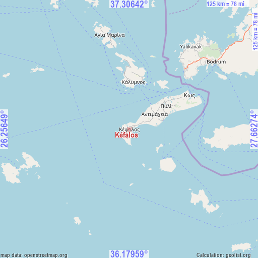
Kéfalos GPS coordinates[2]
36° 44' 42.252" North, 26° 57' 34.596" East
| Map corner | latitude | longitude |
|---|---|---|
| Upper-left | 37.30642°, | 26.25649° |
| Center: | 36.74507°, | 26.95961° |
| Lower-right: | 36.17959°, | 27.66274° |
| Map W x H: | 125.3×125.3 km | = 77.9×77.9mi |
| max Lat: | 41.72048° ⇑91.7% North |
| Kéfalos: | 36.74507° |
| min Lat: | ⇓8.3% South 34.8346° |
| min Long | Kéfalos | max Long |
| 19.40494° | 26.95961° | 29.59361° |
| W 98.4%⇐ | ⇒1.6% E |
Elevation
Elevation of Kéfalos is 109 m = 358 ft, and this is 59.9 m = 197 ft below average elevation for this country.
| Max E: |
1439 m = 4721 ft | 42% |
| Avg. | 168.9 m = 554 ft | |
| Kéfalos | 109 m = 358 ft | |
Min E: |
0 m = 0 ft | 58% |
See also: Greece elevation on elevation.city.
Geographical zone
Kéfalos is located in North temperate zone (between Tropic of Cancer and the Arctic Circle). Distance of this Northern Tropic circle is 1479.7 km =919.4 mi to South.| Distance of | km | miles | from Kéfalos |
|---|---|---|---|
| North Pole | 5921.4 | 3679.4 | to North |
| Arctic Circle | 3315.5 | 2060.2 | to North |
| Tropic Cancer | 1479.7 | 919.4 | to South |
| Equator | 4085.7 | 2538.7 | to South |


Nearby cities:
15 places around Kéfalos: (largest is in red/bold)
• Agía Marína
46.5 km =28.9 mi,  348°
348°
• Antimácheia
14.2 km =8.8 mi,  60°
60°
• Astypálaia
58.5 km =36.4 mi,  248°
248°
• Kamara
47.7 km =29.6 mi, 345°
• Kardámaina
16.9 km =10.5 mi,  75°
75°
• Kos
33.5 km =20.8 mi, 60°
• Kálymnos
22.9 km =14.2 mi,  5°
5°
• Lakkí
44.2 km =27.5 mi, 347°
• Linopótis
24.4 km =15.2 mi,  54°
54°
• Mandráki
21.5 km =13.4 mi,  133°
133°
• Megálo Chorió
47.2 km =29.3 mi, 133°
• Pylí
21 km =13 mi, 58°
• Pánormos
25.3 km =15.7 mi,  355°
355°
• Xirókampos
41.5 km =25.8 mi, 348°
• Zipári
26.3 km =16.3 mi, 56°
Sources, notices
• [Note1] Compared only with cities in Greece existing in our database
• [Src1] Map data: © OpenStreetMap contributors (CC-BY-SA)
• [Src2] Other city data from geonames.org with taken over terms of usage.
• [Src3] Geographical zone / Annual Mean Temperature by Robert A. Rohde @ Wikipedia
