Akráta geodata
Akráta (West Greece) is a populated place; located in Greece in Europe/Athens (GMT+3) time zone. With population of 1,393 people, there are 726 cities with bigger population in this country. Compared to other cities in Greece, 68.8% of cities are located further ↑North; 64.6% of cities are located further →East and 56.2% of cities have lower elevation than Akráta. Note1


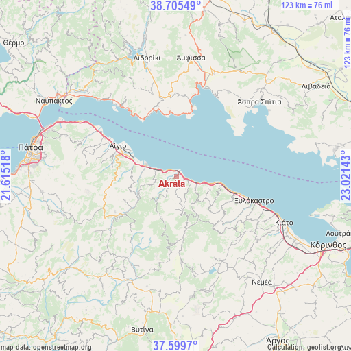
Akráta GPS coordinates[2]
38° 9' 16.884" North, 22° 19' 5.88" East
| Map corner | latitude | longitude |
|---|---|---|
| Upper-left | 38.70549°, | 21.61518° |
| Center: | 38.15469°, | 22.3183° |
| Lower-right: | 37.5997°, | 23.02143° |
| Map W x H: | 123×123 km | = 76.4×76.4mi |
| max Lat: | 41.72048° ⇑68.8% North |
| Akráta: | 38.15469° |
| min Lat: | ⇓31.2% South 34.8346° |
| min Long | Akráta | max Long |
| 19.40494° | 22.3183° | 29.59361° |
| W 35.4%⇐ | ⇒64.6% E |
Elevation
Elevation of Akráta is 102 m = 335 ft, and this is 66.9 m = 219 ft below average elevation for this country.
| Max E: |
1439 m = 4721 ft | 43.8% |
| Avg. | 168.9 m = 554 ft | |
| Akráta | 102 m = 335 ft | |
Min E: |
0 m = 0 ft | 56.2% |
See also: Greece elevation on elevation.city.
Geographical zone
Akráta is located in North temperate zone (between Tropic of Cancer and the Arctic Circle). Distance of this Northern Tropic circle is 1636.5 km =1016.9 mi to South.| Distance of | km | miles | from Akráta |
|---|---|---|---|
| North Pole | 5764.7 | 3582 | to North |
| Arctic Circle | 3158.8 | 1962.8 | to North |
| Tropic Cancer | 1636.5 | 1016.9 | to South |
| Equator | 4242.4 | 2636.1 | to South |


Nearby cities:
15 places around Akráta: (largest is in red/bold)
• Aígio
23.1 km =14.4 mi,  296°
296°
• Aíyira
3.2 km =2 mi,  102°
102°
• Dhervéni
9.3 km =5.8 mi,  106°
106°
• Galaxídhion
25.7 km =16 mi,  12°
12°
• Kalávryta
22.6 km =14 mi,  232°
232°
• Kamári
24.1 km =15 mi, 106°
• Káto Pitsá
19.6 km =12.2 mi, 105°
• Likoporiá
16.8 km =10.4 mi, 100°
• Lóngos
30.2 km =18.8 mi, 300°
• Rododáfni
26.8 km =16.7 mi, 298°
• Rozená
7.9 km =4.9 mi,  119°
119°
• Selianítika
29 km =18 mi, 299°
• Sylivainiótika
1.4 km =0.9 mi,  57°
57°
• Témeni
19.2 km =11.9 mi, 298°
• Xylókastro
28.7 km =17.8 mi, 107°
Sources, notices
• [Note1] Compared only with cities in Greece existing in our database
• [Src1] Map data: © OpenStreetMap contributors (CC-BY-SA)
• [Src2] Other city data from geonames.org with taken over terms of usage.
• [Src3] Geographical zone / Annual Mean Temperature by Robert A. Rohde @ Wikipedia
