San Pedro Zacapa geodata
San Pedro Zacapa (Santa Bárbara) is a populated place; located in Honduras in America/Tegucigalpa (GMT-6) time zone. With population of 1,065 people, there are 383 cities with bigger population in this country. Compared to other cities in Honduras, 58.4% of cities are located further ↑North; 72.2% of cities are located further →East and 63.8% of cities have higher elevation than San Pedro Zacapa. Note1


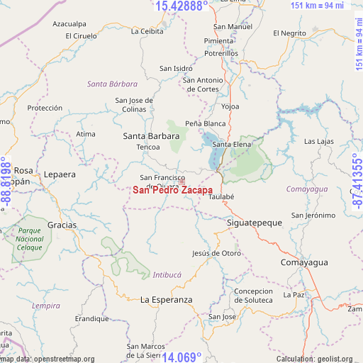
San Pedro Zacapa GPS coordinates[2]
14° 45' 0" North, 88° 7' 0.012" West
| Map corner | latitude | longitude |
|---|---|---|
| Upper-left | 15.42888°, | -88.8198° |
| Center: | 14.75°, | -88.11667° |
| Lower-right: | 14.069°, | -87.41355° |
| Map W x H: | 151.2×151.2 km | = 94×94mi |
| max Lat: | 16.45° ⇑58.4% North |
| San Pedro Zacapa: | 14.75° |
| min Lat: | ⇓41.6% South 13.11667° |
| min Long | San Pedro Zacap | max Long |
| -89.23333° | -88.11667° | -83.23333° |
| W 27.8%⇐ | ⇒72.2% E |
Elevation
Elevation of San Pedro Zacapa is 335 m = 1099 ft, and this is 226.2 m = 742 ft below average elevation for this country.
| Max E: |
1811 m = 5942 ft | 63.8% |
| Avg. | 561.2 m = 1841 ft | |
| San Pedro Zacapa | 335 m = 1099 ft | |
Min E: |
1 m = 3 ft | 36.2% |
See also: Honduras elevation on elevation.city.
Geographical zone
San Pedro Zacapa is located in North Torrid zone (between Equator and Tropic of Cancer). Distance of this Northern Tropic circle is 965.9 km =600.2 mi to North.| Distance of | km | miles | from San Pedro Zacapa |
|---|---|---|---|
| North Pole | 8367 | 5199 | to North |
| Arctic Circle | 5761.1 | 3579.8 | to North |
| Tropic Cancer | 965.9 | 600.2 | to North |
| Equator | 1640 | 1019 | to South |


Nearby cities:
15 places around San Pedro Zacapa: (largest is in red/bold)
• Arada
22.6 km =14 mi,  299°
299°
• Azacualpa
4.1 km =2.5 mi,  154°
154°
• Ceguaca
10.5 km =6.5 mi, 301°
• Concepción del Sur
7.7 km =4.8 mi,  315°
315°
• El Mochito
13.5 km =8.4 mi,  15°
15°
• El Níspero
23.4 km =14.5 mi,  274°
274°
• Jardines
15.4 km =9.6 mi,  111°
111°
• Las Vegas, Santa Barbara
14.8 km =9.2 mi, 17°
• Los Naranjos
18.2 km =11.3 mi, 23°
• San Francisco de Ojuera
7.2 km =4.5 mi, 270°
• San José de Comayagua
9.2 km =5.7 mi,  101°
101°
• San Vicente Centenario
23.3 km =14.5 mi,  309°
309°
• Santa Bárbara
22.8 km =14.2 mi,  325°
325°
• Santa Rita
21.4 km =13.3 mi, 329°
• Taulabé
17.1 km =10.6 mi, 109°
Sources, notices
• [Note1] Compared only with cities in Honduras existing in our database
• [Src1] Map data: © OpenStreetMap contributors (CC-BY-SA)
• [Src2] Other city data from geonames.org with taken over terms of usage.
• [Src3] Geographical zone / Annual Mean Temperature by Robert A. Rohde @ Wikipedia
