San Luis geodata
San Luis (Santa Bárbara) is a populated place; located in Honduras in America/Tegucigalpa (GMT-6) time zone. With population of 5,733 people, there are 56 cities with bigger population in this country. Compared to other cities in Honduras, 63.2% of cities are located further ↓South; 80.2% of cities are located further →East and 89.6% of cities have lower elevation than San Luis. Note1


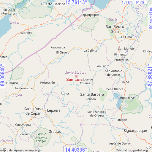
San Luis GPS coordinates[2]
15° 4' 59.988" North, 88° 22' 59.988" West
| Map corner | latitude | longitude |
|---|---|---|
| Upper-left | 15.76113°, | -89.08646° |
| Center: | 15.08333°, | -88.38333° |
| Lower-right: | 14.40336°, | -87.68021° |
| Map W x H: | 151×151 km | = 93.8×93.8mi |
| max Lat: | 16.45° ⇑36.8% North |
| San Luis: | 15.08333° |
| min Lat: | ⇓63.2% South 13.11667° |
| min Long | San Luis | max Long |
| -89.23333° | -88.38333° | -83.23333° |
| W 19.8%⇐ | ⇒80.2% E |
Elevation
Elevation of San Luis is 1137 m = 3730 ft, and this is 575.8 m = 1889 ft above average elevation for this country.
| Max E: |
1811 m = 5942 ft | 10.4% |
| San Luis | 1137 m 3730 ft | |
| Avg. | 561.2 m = 1841 ft | |
Min E: |
1 m = 3 ft | 89.6% |
See also: Honduras elevation on elevation.city.
Geographical zone
San Luis is located in North Torrid zone (between Equator and Tropic of Cancer). Distance of this Northern Tropic circle is 928.8 km =577.1 mi to North.| Distance of | km | miles | from San Luis |
|---|---|---|---|
| North Pole | 8330 | 5176 | to North |
| Arctic Circle | 5724.1 | 3556.8 | to North |
| Tropic Cancer | 928.8 | 577.1 | to North |
| Equator | 1677.1 | 1042.1 | to South |


Nearby cities:
15 places around San Luis: (largest is in red/bold)
• Atima
19.8 km =12.3 mi,  212°
212°
• Gualjoco
21.9 km =13.6 mi,  132°
132°
• Ilama
18 km =11.2 mi,  95°
95°
• La Unión
18.7 km =11.6 mi,  287°
287°
• Macholoa
20.6 km =12.8 mi,  154°
154°
• Nueva Jalapa
19.3 km =12 mi,  163°
163°
• Nuevo Celilac
12.3 km =7.6 mi, 154°
• Petoa
23 km =14.3 mi,  27°
27°
• Potrerillos
21.1 km =13.1 mi,  345°
345°
• San José de Colinas
10.5 km =6.5 mi,  121°
121°
• San Marcos
24.4 km =15.2 mi, 351°
• San Nicolás
18.1 km =11.2 mi, 156°
• San Vicente Centenario
24.7 km =15.3 mi, 154°
• Santa Bárbara
24.1 km =15 mi,  139°
139°
• Trinidad
17 km =10.6 mi,  70°
70°
Sources, notices
• [Note1] Compared only with cities in Honduras existing in our database
• [Src1] Map data: © OpenStreetMap contributors (CC-BY-SA)
• [Src2] Other city data from geonames.org with taken over terms of usage.
• [Src3] Geographical zone / Annual Mean Temperature by Robert A. Rohde @ Wikipedia
