Agua Azul Rancho geodata
Agua Azul Rancho (Cortés) is a populated place; located in Honduras in America/Tegucigalpa (GMT-6) time zone. With population of 1,043 people, there are 394 cities with bigger population in this country. Compared to other cities in Honduras, 50.8% of cities are located further ↓South; 63.8% of cities are located further →East and 56.8% of cities have lower elevation than Agua Azul Rancho. Note1


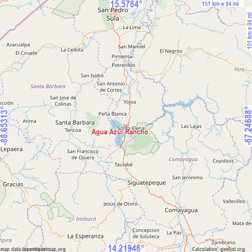
Agua Azul Rancho GPS coordinates[2]
14° 54' 0" North, 87° 57' 0" West
| Map corner | latitude | longitude |
|---|---|---|
| Upper-left | 15.5784°, | -88.65313° |
| Center: | 14.9°, | -87.95° |
| Lower-right: | 14.21946°, | -87.24688° |
| Map W x H: | 151.1×151.1 km | = 93.9×93.9mi |
| max Lat: | 16.45° ⇑49.2% North |
| Agua Azul Rancho: | 14.9° |
| min Lat: | ⇓50.8% South 13.11667° |
| min Long | Agua Azul Ranch | max Long |
| -89.23333° | -87.95° | -83.23333° |
| W 36.2%⇐ | ⇒63.8% E |
Elevation
Elevation of Agua Azul Rancho is 648 m = 2126 ft, and this is 86.8 m = 285 ft above average elevation for this country.
| Max E: |
1811 m = 5942 ft | 43.2% |
| Agua Azul Rancho | 648 m 2126 ft | |
| Avg. | 561.2 m = 1841 ft | |
Min E: |
1 m = 3 ft | 56.8% |
See also: Honduras elevation on elevation.city.
Geographical zone
Agua Azul Rancho is located in North Torrid zone (between Equator and Tropic of Cancer). Distance of this Northern Tropic circle is 949.2 km =589.8 mi to North.| Distance of | km | miles | from Agua Azul Rancho |
|---|---|---|---|
| North Pole | 8350.3 | 5188.6 | to North |
| Arctic Circle | 5744.4 | 3569.4 | to North |
| Tropic Cancer | 949.2 | 589.8 | to North |
| Equator | 1656.7 | 1029.4 | to South |


Nearby cities:
15 places around Agua Azul Rancho: (largest is in red/bold)
• Agua Azul
2.6 km =1.6 mi,  315°
315°
• Cañaveral
11.7 km =7.3 mi, 322°
• El Edén
9.1 km =5.7 mi,  307°
307°
• El Mochito
14.8 km =9.2 mi,  255°
255°
• El Tigre
5.2 km =3.2 mi, 315°
• La Guama
2.6 km =1.6 mi,  135°
135°
• Las Vegas, Santa Barbara
13.7 km =8.5 mi, 258°
• Los Caminos
5.8 km =3.6 mi,  342°
342°
• Los Naranjos
10.7 km =6.6 mi,  270°
270°
• Oropéndolas
13.1 km =8.1 mi,  7°
7°
• Río Bonito
16.5 km =10.3 mi,  154°
154°
• Río Lindo
15.3 km =9.5 mi,  346°
346°
• San Buenaventura
14 km =8.7 mi, 337°
• San Francisco de Yojoa
13.1 km =8.1 mi, 352°
• Santa Cruz de Yojoa
10.7 km =6.6 mi,  30°
30°
Sources, notices
• [Note1] Compared only with cities in Honduras existing in our database
• [Src1] Map data: © OpenStreetMap contributors (CC-BY-SA)
• [Src2] Other city data from geonames.org with taken over terms of usage.
• [Src3] Geographical zone / Annual Mean Temperature by Robert A. Rohde @ Wikipedia
